Transport Functions
Road
Multimodal
Hub Profile
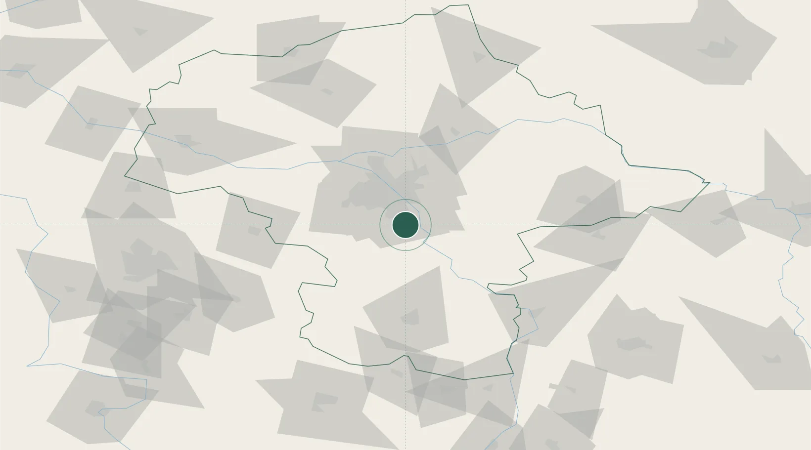
Place type
Populated place
Region
Mazovia
Population
4,000
Time zone
Europe/Warsaw
Elevation
109 m
Location
Nearby Logistics Neighbours
Cities
- 1Zalesie Górne6 km
- 2Konstancin-Jeziorna7 km
- 3Konstantcin8 km
- 4Piaseczno8 km
- 5Góra Kalwaria9 km
Ports
- 1Kaliningrad301 km
- 2Baltiysk302 km
- 3Gdansk307 km
- 4Nowy Port313 km
- 5Gdynia328 km
Airports
- 1Warsaw Chopin Airport20 km
- 2Minsk Mazowiecki Military Air Base42 km
- 3Warsaw Modlin Airport58 km
- 4Warsaw Radom Airport70 km
- 5Deblin Military Air Base74 km
Trade Zones
DatabookThe Record of Consolidated Knowledge
Poland beyond logistics?