Transport Functions
Port
Rail
Road
Hub Profile
Place type
Populated place
Region
West Pomerania
Population
3,009
Time zone
Europe/Warsaw
Elevation
94 m
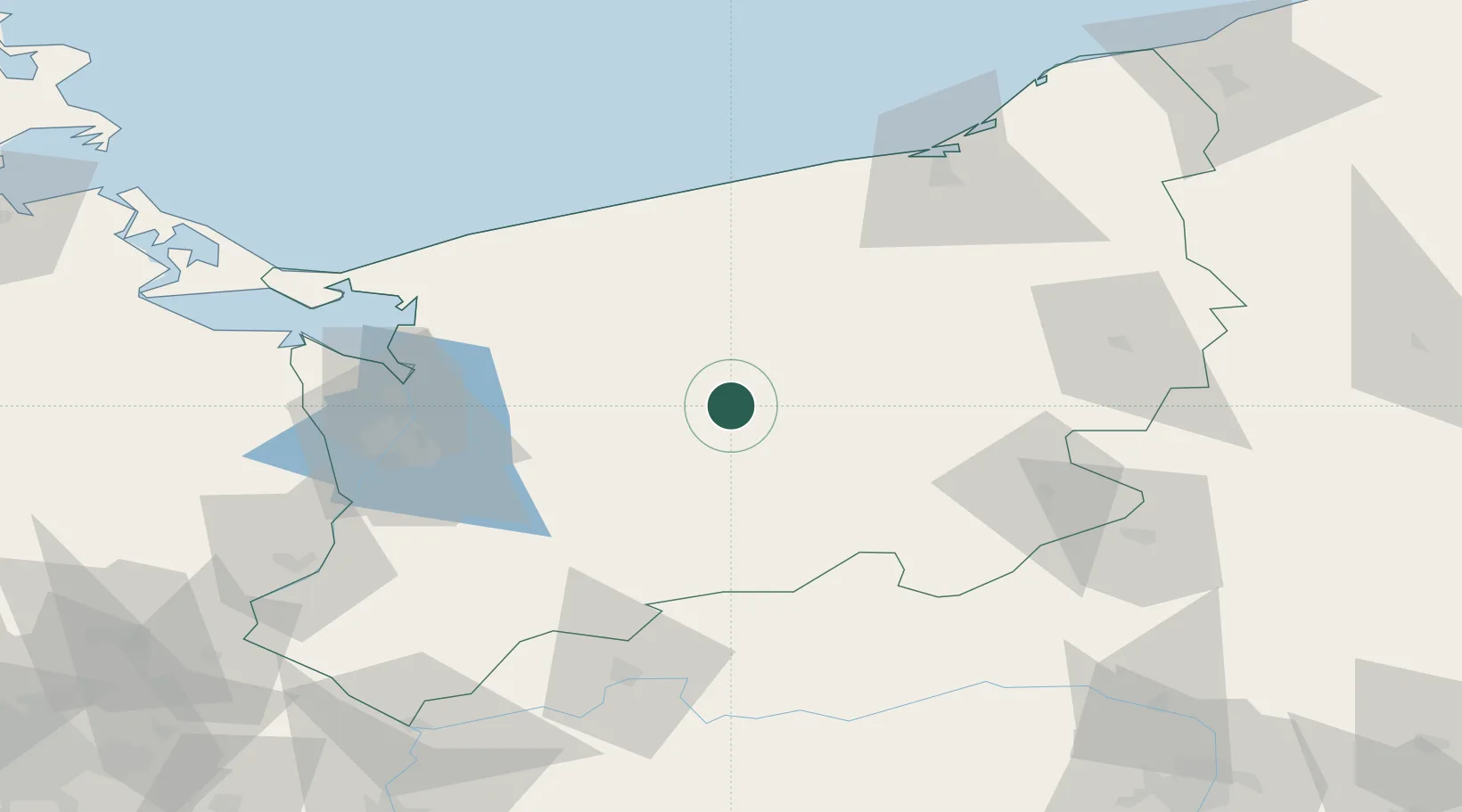
Location
Nearby Logistics Neighbours
Cities
- 1Insko13 km
- 2Chociwel16 km
- 3Drawsko Pomorskie17 km
- 4Starogard24 km
- 5Zlocieniec30 km
Ports
- 1Police65 km
- 2Szczecin67 km
- 3Kolobrzeg76 km
- 4Swinoujscie95 km
- 5Darlowo115 km
Airports
Trade Zones
- 1Szczecin Duty Free Zone66 km
- 2Swinoujscie Duty Free Zone93 km
- 3Kostrzyń-Słubice SEZ121 km
- 4Słupsk SEZ (Słupska SSE)142 km
- 5Legnica SEZ (Legnicka SSE)252 km
DatabookThe Record of Consolidated Knowledge
Poland beyond logistics?