Transport Functions
Rail
Road
Hub Profile
Place type
District seat
Region
West Pomerania
Population
13,337
Time zone
Europe/Warsaw
Elevation
127 m
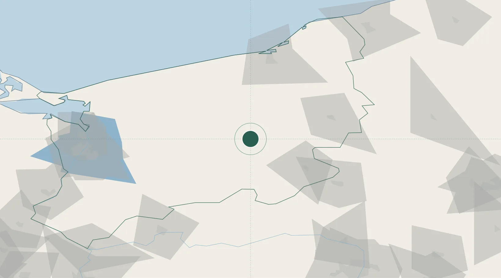
Location
Nearby Logistics Neighbours
Cities
- 1Drawsko Pomorskie13 km
- 2Miroslawiec23 km
- 3Polczyn-Zdrój25 km
- 4Swidwin30 km
- 5Wegorzyno30 km
Ports
- 1Kolobrzeg82 km
- 2Police95 km
- 3Szczecin97 km
- 4Darlowo104 km
- 5Swinoujscie122 km
Airports
Trade Zones
- 1Szczecin Duty Free Zone95 km
- 2Swinoujscie Duty Free Zone121 km
- 3Słupsk SEZ (Słupska SSE)123 km
- 4Kostrzyń-Słubice SEZ138 km
- 5Pomeranian SEZ (Pomorska SSE)164 km
DatabookThe Record of Consolidated Knowledge
Poland beyond logistics?