Transport Functions
Multimodal
Hub Profile
Place type
District seat
Region
West Pomerania
Population
2,002
Time zone
Europe/Warsaw
Elevation
121 m
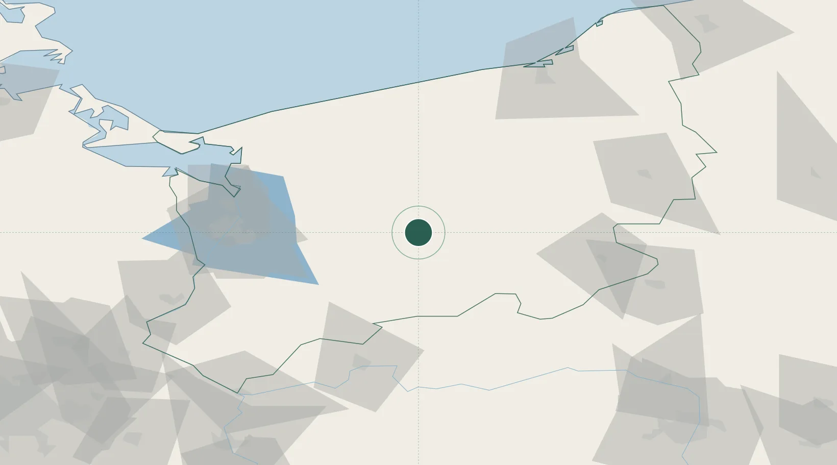
Location
Nearby Logistics Neighbours
Cities
- 1Wegorzyno13 km
- 2Chociwel14 km
- 3Drawsko Pomorskie22 km
- 4Choszczno29 km
- 5Zlocieniec34 km
Ports
- 1Szczecin65 km
- 2Police66 km
- 3Kolobrzeg89 km
- 4Swinoujscie100 km
- 5Darlowo127 km
Airports
Trade Zones
- 1Szczecin Duty Free Zone64 km
- 2Swinoujscie Duty Free Zone99 km
- 3Kostrzyń-Słubice SEZ109 km
- 4Słupsk SEZ (Słupska SSE)152 km
- 5Legnica SEZ (Legnicka SSE)239 km
DatabookThe Record of Consolidated Knowledge
Poland beyond logistics?