Transport Functions
Multimodal
Hub Profile
Place type
Populated place
Region
Mazovia
Population
1,500
Time zone
Europe/Warsaw
Elevation
134 m
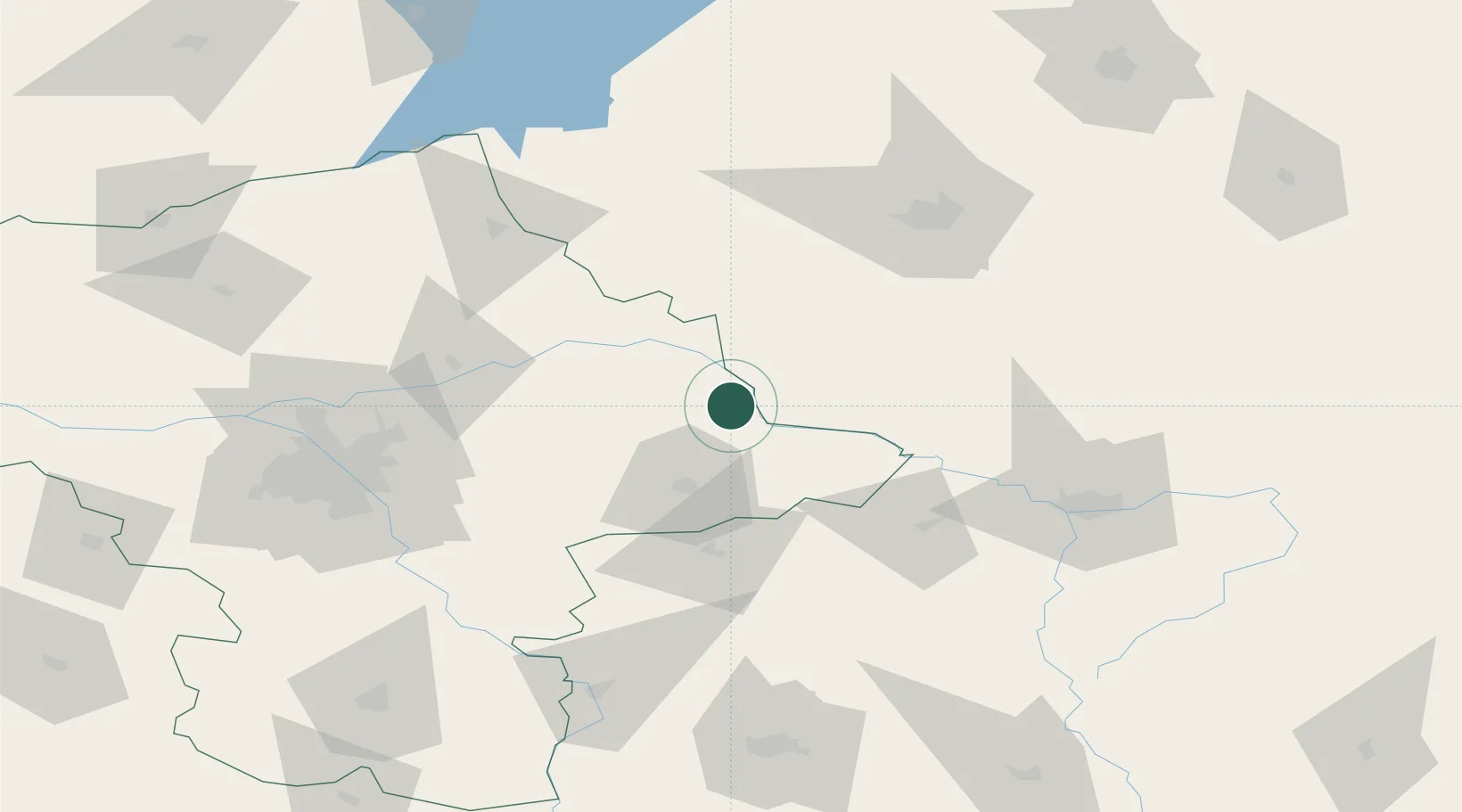
Location
Nearby Logistics Neighbours
Cities
- 1Wegrow29 km
- 2Nowe Opole38 km
- 3Wrzoski50 km
- 4Ostrów Mazowiecka50 km
- 5Mrozy55 km
Ports
- 1Kaliningrad280 km
- 2Baltiysk293 km
- 3Gdansk326 km
- 4Nowy Port331 km
- 5Gdynia345 km
Airports
- 1Minsk Mazowiecki Military Air Base61 km
- 2Warsaw Chopin Airport105 km
- 3Brest International Airport107 km
- 4Deblin Military Air Base108 km
- 5Warsaw Modlin Airport121 km
Trade Zones
DatabookThe Record of Consolidated Knowledge
Poland beyond logistics?