Transport Functions
Port
Rail
Road
Hub Profile
Place type
District seat
Region
Pomerania
Population
16,250
Time zone
Europe/Warsaw
Elevation
2 m
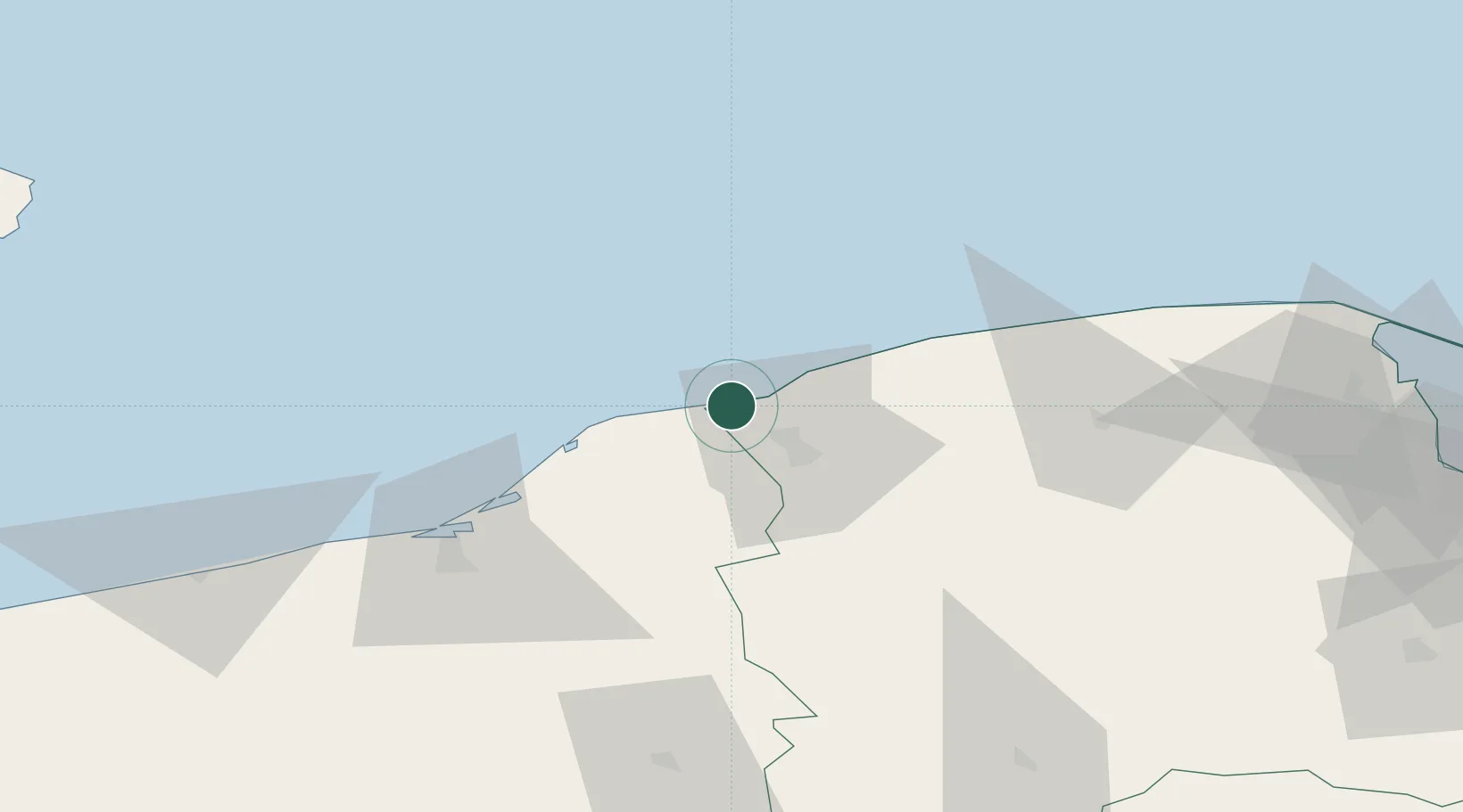
Location
Nearby Logistics Neighbours
Cities
- 1Sycewice19 km
- 2Korzybie32 km
- 3Darlowo34 km
- 4Kolczyglowy46 km
- 5Leba49 km
Airports
- 1Cewice Naval Air Base62 km
- 2Gdańsk Lech Wałęsa Airport107 km
- 3Swidwin Military Air Base111 km
- 4Miroslawiec Military Air Base141 km
- 5Bornholm Airport144 km
Trade Zones
- 1Słupsk SEZ (Słupska SSE)18 km
- 2Pomeranian SEZ (Pomorska SSE)90 km
- 3Gdansk Port Duty Free Zone118 km
- 4Swinoujscie Duty Free Zone184 km
- 5Szczecin Duty Free Zone197 km
DatabookThe Record of Consolidated Knowledge
Poland beyond logistics?