Transport Functions
Rail
Road
Hub Profile
Place type
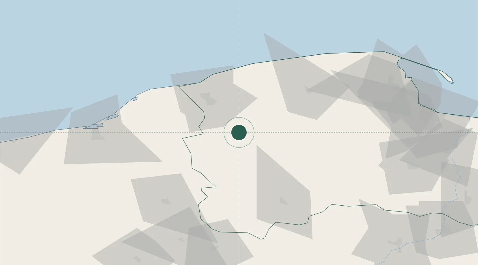
Populated place
Region
Pomerania
Population
1,233
Time zone
Europe/Warsaw
Elevation
114 m
Location
Nearby Logistics Neighbours
Cities
- 1Borzytuchom9 km
- 2Czarna Dabrowka24 km
- 3Korzybie25 km
- 4Miastko31 km
- 5Sycewice31 km
Airports
- 1Cewice Naval Air Base40 km
- 2Gdańsk Lech Wałęsa Airport82 km
- 3Swidwin Military Air Base104 km
- 4Miroslawiec Military Air Base120 km
- 5Malbork Królewo Air Base126 km
Trade Zones
- 1Słupsk SEZ (Słupska SSE)29 km
- 2Pomeranian SEZ (Pomorska SSE)60 km
- 3Gdansk Port Duty Free Zone94 km
- 4Szczecin Duty Free Zone197 km
- 5Swinoujscie Duty Free Zone197 km
DatabookThe Record of Consolidated Knowledge
Poland beyond logistics?