Transport Functions
Port
Rail
Road
Hub Profile
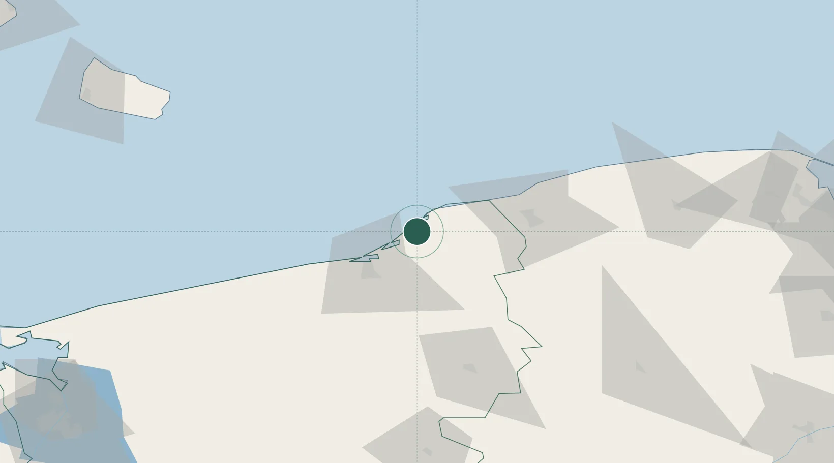
Place type
Populated place
Region
West Pomerania
Population
13,324
Time zone
Europe/Warsaw
Elevation
7 m
Location
Nearby Logistics Neighbours
Ports
- 1Ustka34 km
- 2Kolobrzeg61 km
- 3Nekso110 km
- 4Christianso Harbor127 km
- 5Ronne134 km
Airports
- 1Swidwin Military Air Base80 km
- 2Cewice Naval Air Base87 km
- 3Miroslawiec Military Air Base116 km
- 4Bornholm Airport128 km
- 5Gdańsk Lech Wałęsa Airport133 km
Trade Zones
- 1Słupsk SEZ (Słupska SSE)40 km
- 2Pomeranian SEZ (Pomorska SSE)113 km
- 3Gdansk Port Duty Free Zone145 km
- 4Swinoujscie Duty Free Zone151 km
- 5Szczecin Duty Free Zone164 km
DatabookThe Record of Consolidated Knowledge
Poland beyond logistics?