Transport Functions
Rail
Road
Hub Profile
Place type
Populated place
Region
Pomerania
Time zone
Europe/Warsaw
Elevation
32 m
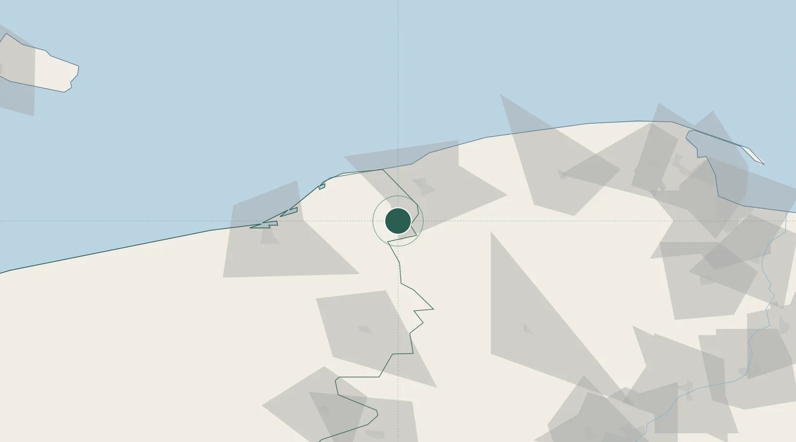
Location
Nearby Logistics Neighbours
Cities
- 1Sycewice13 km
- 2Polanów25 km
- 3Kolczyglowy25 km
- 4Ustka32 km
- 5Darlowo32 km
Airports
- 1Cewice Naval Air Base60 km
- 2Swidwin Military Air Base88 km
- 3Gdańsk Lech Wałęsa Airport104 km
- 4Miroslawiec Military Air Base113 km
- 5Malbork Królewo Air Base151 km
Trade Zones
- 1Słupsk SEZ (Słupska SSE)21 km
- 2Pomeranian SEZ (Pomorska SSE)84 km
- 3Gdansk Port Duty Free Zone116 km
- 4Swinoujscie Duty Free Zone175 km
- 5Szczecin Duty Free Zone179 km
DatabookThe Record of Consolidated Knowledge
Poland beyond logistics?