Transport Functions
Port
Rail
Road
Hub Profile
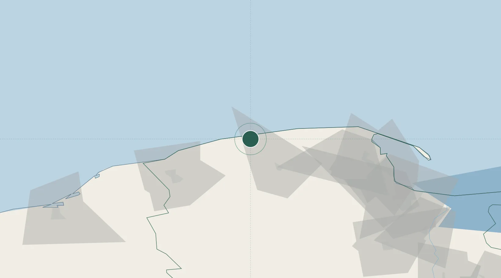
Place type
Populated place
Region
Pomerania
Population
3,744
Time zone
Europe/Warsaw
Elevation
1 m
Location
Nearby Logistics Neighbours
Cities
- 1Zamostne37 km
- 2Luzino41 km
- 3Orle42 km
- 4Kamienica Królewska45 km
- 5Czarna Dabrowka45 km
Airports
- 1Cewice Naval Air Base40 km
- 2Gdańsk Lech Wałęsa Airport72 km
- 3Malbork Królewo Air Base130 km
- 4Swidwin Military Air Base155 km
- 5Miroslawiec Military Air Base179 km
Trade Zones
DatabookThe Record of Consolidated Knowledge
Poland beyond logistics?