Transport Functions
Road
Multimodal
Hub Profile
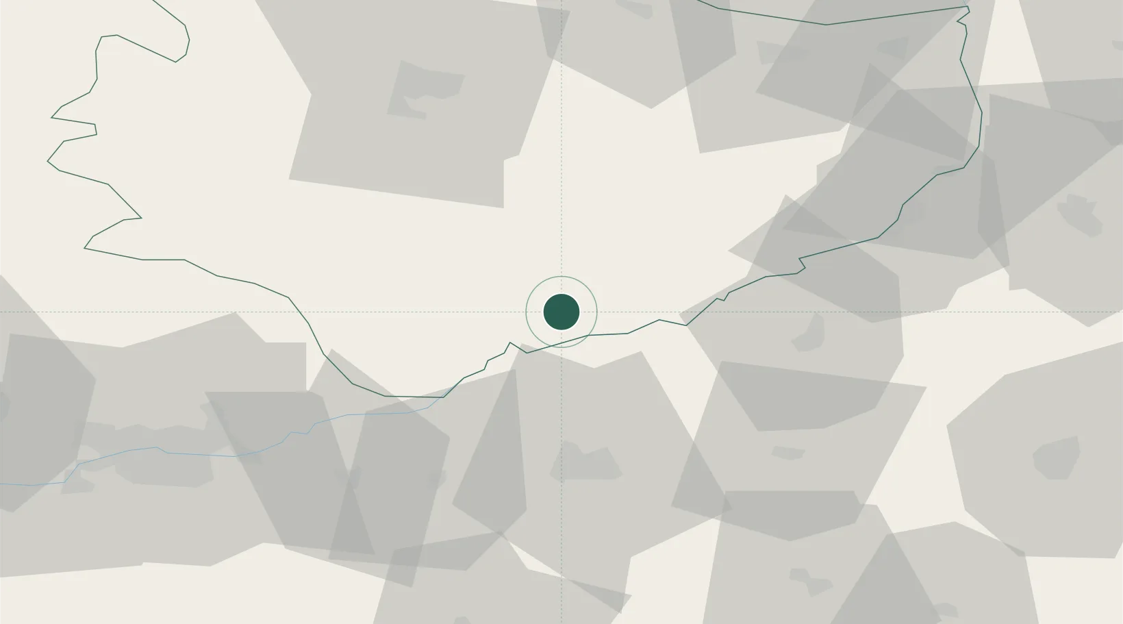
Place type
District seat
Region
Świętokrzyskie
Population
900
Time zone
Europe/Warsaw
Elevation
184 m
Location
Nearby Logistics Neighbours
Cities
- 1Swiebodzin11 km
- 2Busko-Zdrój17 km
- 3Dabrowa Tarnowska23 km
- 4Zabno26 km
- 5Staszów29 km
Ports
- 1Gdansk468 km
- 2Nowy Port475 km
- 3Baltiysk479 km
- 4Kaliningrad483 km
- 5Gdynia490 km
Airports
Trade Zones
DatabookThe Record of Consolidated Knowledge
Poland beyond logistics?