Transport Functions
Rail
Road
Multimodal
Hub Profile
Place type
Provincial seat
Region
Świętokrzyskie
Population
17,095
Time zone
Europe/Warsaw
Elevation
266 m
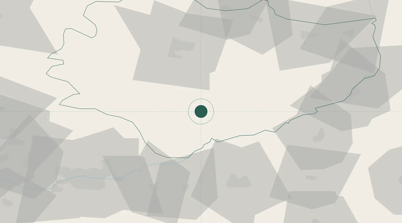
Location
Nearby Logistics Neighbours
Cities
- 1Lipnik17 km
- 2Solec-Zdrój17 km
- 3Swiebodzin26 km
- 4Dzialoszyce28 km
- 5Staszów34 km
Ports
- 1Gdansk454 km
- 2Nowy Port461 km
- 3Baltiysk467 km
- 4Kaliningrad471 km
- 5Gdynia475 km
Airports
Trade Zones
DatabookThe Record of Consolidated Knowledge
Poland beyond logistics?