Transport Functions
Port
Road
Multimodal
Hub Profile
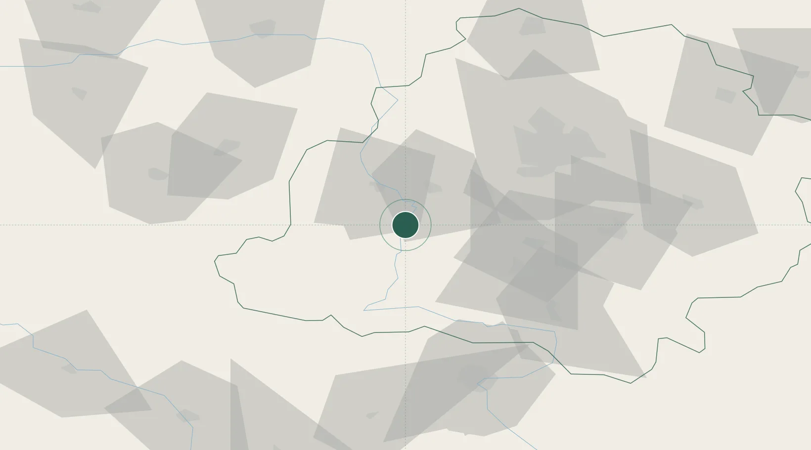
Place type
District seat
Region
Łódź Voivodeship
Population
1,100
Time zone
Europe/Warsaw
Elevation
144 m
Location
Nearby Logistics Neighbours
Cities
- 1Stanislawow Pierwszy27 km
- 2Braszewice27 km
- 3Szadek28 km
- 4Wierzchlas28 km
- 5Walichnowy35 km
Airports
Trade Zones
DatabookThe Record of Consolidated Knowledge
Poland beyond logistics?