Transport Functions
Rail
Road
Multimodal
Hub Profile
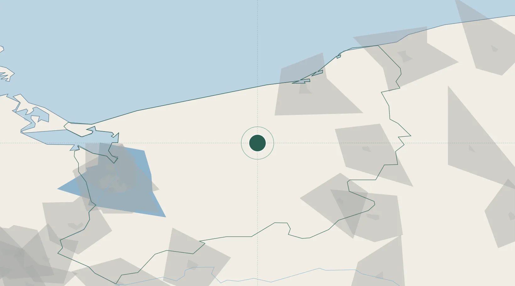
Place type
Populated place
Region
West Pomerania
Population
15,725
Time zone
Europe/Warsaw
Elevation
92 m
Location
Nearby Logistics Neighbours
Cities
- 1Starogard17 km
- 2Polczyn-Zdrój20 km
- 3Drawsko Pomorskie26 km
- 4Karlino28 km
- 5Zlocieniec30 km
Ports
- 1Kolobrzeg52 km
- 2Police83 km
- 3Darlowo85 km
- 4Szczecin90 km
- 5Swinoujscie101 km
Airports
Trade Zones
- 1Szczecin Duty Free Zone89 km
- 2Swinoujscie Duty Free Zone100 km
- 3Słupsk SEZ (Słupska SSE)112 km
- 4Kostrzyń-Słubice SEZ151 km
- 5MTS Malmö Transport and Spedition268 km
DatabookThe Record of Consolidated Knowledge
Poland beyond logistics?