Transport Functions
Rail
Road
Hub Profile
Region
32
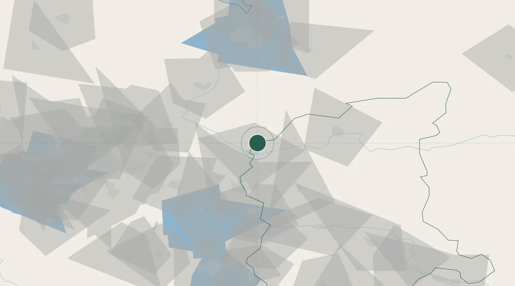
Location
Nearby Logistics Neighbours
Cities
- 1Debno8 km
- 2Kostrzyn9 km
- 3Kietz12 km
- 4Küstriner Vorland12 km
- 5Manschnow15 km
Ports
- 1Szczecin84 km
- 2Police100 km
- 3Swinoujscie142 km
- 4Wolgast165 km
- 5Kolobrzeg182 km
Airports
Trade Zones
- 1Kostrzyń-Słubice SEZ8 km
- 2Szczecin Duty Free Zone84 km
- 3Swinoujscie Duty Free Zone139 km
- 4Legnica SEZ (Legnicka SSE)177 km
- 5Kamienna Góra229 km
DatabookThe Record of Consolidated Knowledge
Poland beyond logistics?