Transport Functions
Port
Rail
Road
Hub Profile
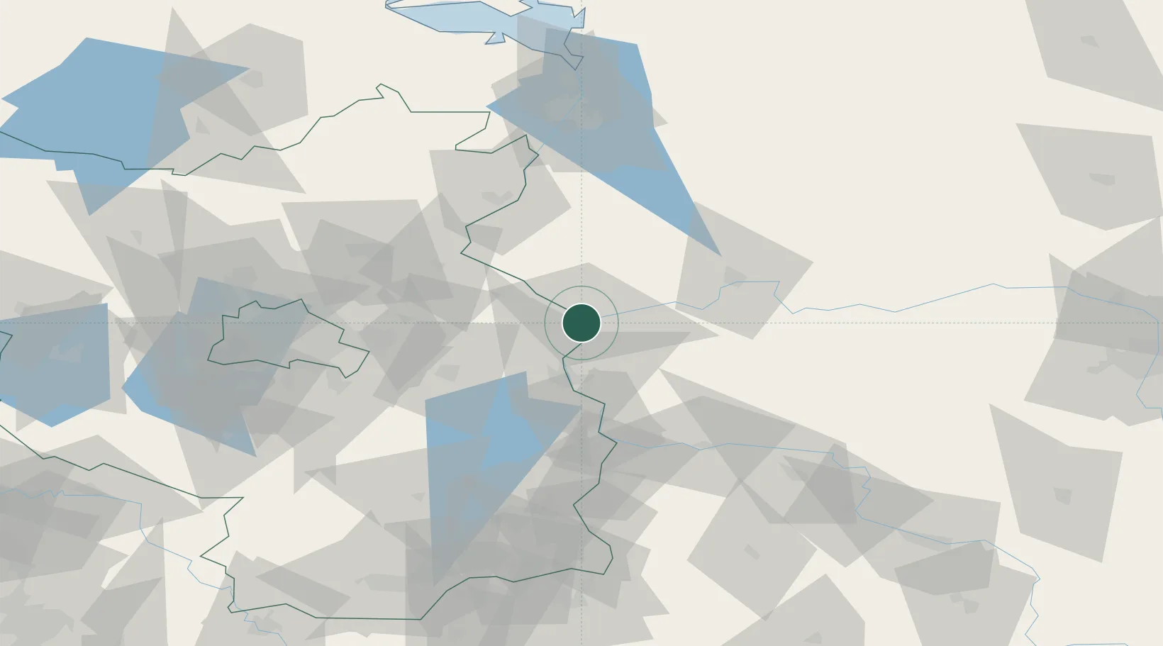
Place type
Populated place
Region
Brandenburg
Population
804
Time zone
Europe/Berlin
Elevation
13 m
Location
Nearby Logistics Neighbours
Cities
- 1Küstriner Vorland0 km
- 2Kostrzyn3 km
- 3Manschnow5 km
- 4Suchlica12 km
- 5Seelow16 km
Ports
- 1Szczecin95 km
- 2Police111 km
- 3Swinoujscie152 km
- 4Wolgast174 km
- 5Kolobrzeg194 km
Airports
Trade Zones
- 1Kostrzyń-Słubice SEZ4 km
- 2Szczecin Duty Free Zone95 km
- 3Swinoujscie Duty Free Zone150 km
- 4Legnica SEZ (Legnicka SSE)169 km
- 5Kamienna Góra221 km
DatabookThe Record of Consolidated Knowledge
Germany beyond logistics?