UN/LOCODE hub · Poland
PLDDN

Debno

52.7333°, 14.6833°
13,804
Population
1
Transport functions

Transport Functions

Multimodal
UN/LOCODE

Hub Profile

Place type
District seat
GeoNames
Region
West Pomerania
GeoNames
Population
13,804
GeoNames
Time zone
Europe/Warsaw
GeoNames
Elevation
40 m
GeoNames

Location

Location of PLDDN
Natural Earth 10m (public domain) · West Pomerania · PLDDN · 52.73, 14.68GoogleOSMYandex

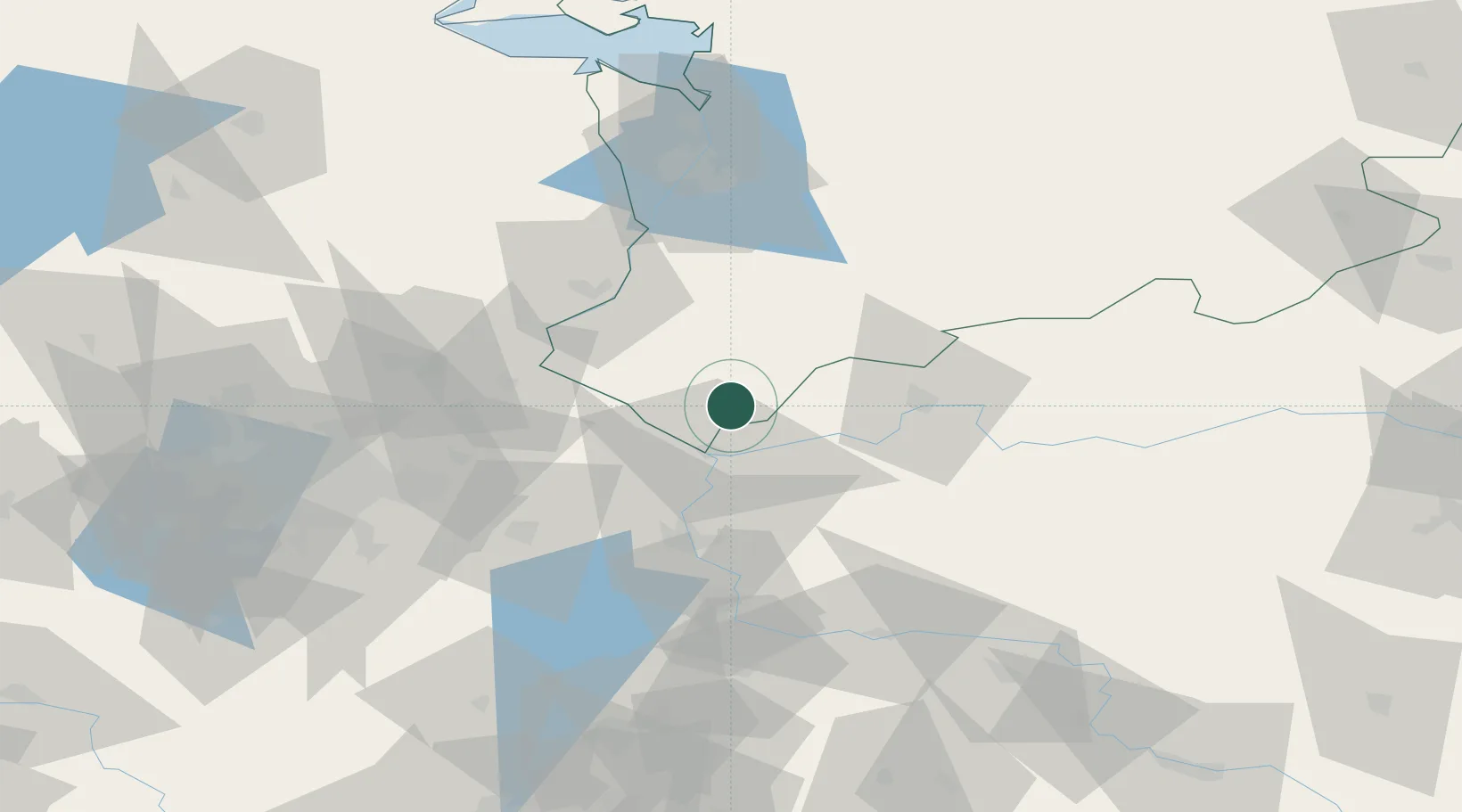
Nearby Logistics Neighbours

Cities
  1. 1Suchlica8 km
  2. 2Kostrzyn17 km
  3. 3Kietz19 km
  4. 4Küstriner Vorland19 km
  5. 5Manschnow22 km
Nearest neighbours — logibook spatial index (haversine) over the source coordinates
Ports
  1. 1Szczecin77 km
  2. 2Police93 km
  3. 3Swinoujscie135 km
  4. 4Wolgast158 km
  5. 5Kolobrzeg175 km
Nearest neighbours — logibook spatial index (haversine) over the source coordinates
Airports
  1. 1Berlin Brandenburg Airport90 km
  2. 2Solidarity Szczecin–Goleniów Airport96 km
  3. 3Zielona Góra-Babimost Airport101 km
  4. 4Miroslawiec Military Air Base119 km
  5. 5Heringsdorf Airport132 km
Nearest neighbours — logibook spatial index (haversine) over the source coordinates
Trade Zones
  1. 1Kostrzyń-Słubice SEZ16 km
  2. 2Szczecin Duty Free Zone77 km
  3. 3Swinoujscie Duty Free Zone132 km
  4. 4Legnica SEZ (Legnicka SSE)183 km
  5. 5Kamienna Góra235 km
Nearest neighbours — logibook spatial index (haversine) over the source coordinates
DatabookThe Record of Consolidated Knowledge
Poland beyond logistics?
Browse databook

All Sources

LocationsUN/LOCODE
UN/LOCODE — free
LocationsGeoNames
CC BY 4.0
Portsthe NGA World Port Index
Public domain (US gov)
AirportsOurAirports
Public domain
Trade Zonesthe World Bank SEZ database
CC BY 4.0
Trade ZonesOpen Zone Map
CC BY
← Poland locations