Transport Functions
Rail
Road
Multimodal
Hub Profile
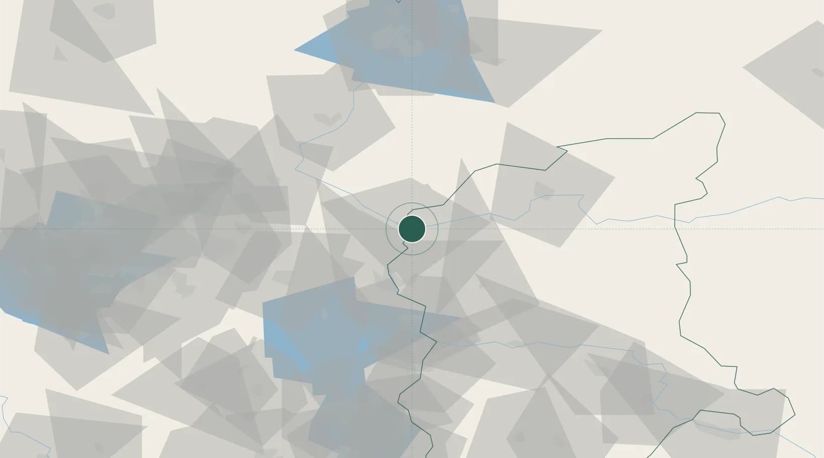
Place type
District seat
Region
Greater Poland
Population
8,965
Time zone
Europe/Warsaw
Elevation
101 m
Location
Nearby Logistics Neighbours
Cities
- 1Kietz3 km
- 2Küstriner Vorland3 km
- 3Manschnow8 km
- 4Suchlica9 km
- 5Debno17 km
Ports
- 1Szczecin93 km
- 2Police110 km
- 3Swinoujscie150 km
- 4Wolgast173 km
- 5Kolobrzeg191 km
Airports
Trade Zones
- 1Kostrzyń-Słubice SEZ2 km
- 2Szczecin Duty Free Zone93 km
- 3Swinoujscie Duty Free Zone148 km
- 4Legnica SEZ (Legnicka SSE)170 km
- 5Kamienna Góra221 km
DatabookThe Record of Consolidated Knowledge
Poland beyond logistics?