Transport Functions
Rail
Road
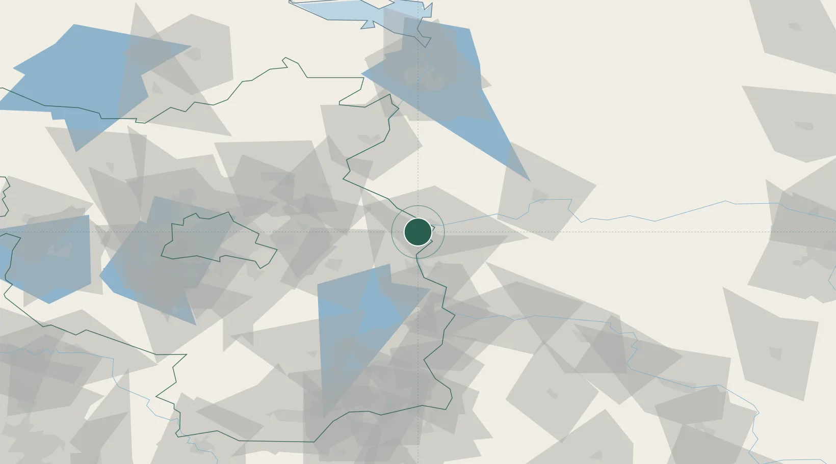
Hub Profile
Place type
Populated place
Region
Brandenburg
Population
1,200
Time zone
Europe/Berlin
Elevation
10 m
Location
Nearby Logistics Neighbours
Cities
- 1Kietz5 km
- 2Küstriner Vorland5 km
- 3Kostrzyn8 km
- 4Seelow11 km
- 5Suchlica15 km
Ports
- 1Szczecin96 km
- 2Police113 km
- 3Swinoujscie153 km
- 4Wolgast174 km
- 5Kolobrzeg197 km
Airports
Trade Zones
- 1Kostrzyń-Słubice SEZ8 km
- 2Szczecin Duty Free Zone97 km
- 3Swinoujscie Duty Free Zone151 km
- 4Legnica SEZ (Legnicka SSE)170 km
- 5Kamienna Góra221 km
DatabookThe Record of Consolidated Knowledge
Germany beyond logistics?