UN/LOCODE hub · Germany
DEKTV

Küstriner Vorland

52.5667°, 14.6167°
1
Transport functions

Transport Functions

Multimodal
UN/LOCODE

Hub Profile

Region
BB
GeoNames

Location

Location of DEKTV
Natural Earth 10m (public domain) · BB · DEKTV · 52.57, 14.62GoogleOSMYandex

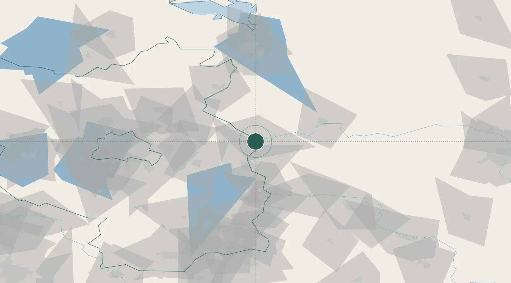
Nearby Logistics Neighbours

Cities
  1. 1Kietz0 km
  2. 2Kostrzyn3 km
  3. 3Manschnow5 km
  4. 4Suchlica12 km
  5. 5Seelow16 km
Nearest neighbours — logibook spatial index (haversine) over the source coordinates
Ports
  1. 1Szczecin95 km
  2. 2Police111 km
  3. 3Swinoujscie152 km
  4. 4Wolgast174 km
  5. 5Kolobrzeg194 km
Nearest neighbours — logibook spatial index (haversine) over the source coordinates
Airports
  1. 1Berlin Brandenburg Airport79 km
  2. 2Zielona Góra-Babimost Airport93 km
  3. 3Solidarity Szczecin–Goleniów Airport115 km
  4. 4Holzdorf Air Base133 km
  5. 5Miroslawiec Military Air Base135 km
Nearest neighbours — logibook spatial index (haversine) over the source coordinates
Trade Zones
  1. 1Kostrzyń-Słubice SEZ4 km
  2. 2Szczecin Duty Free Zone95 km
  3. 3Swinoujscie Duty Free Zone150 km
  4. 4Legnica SEZ (Legnicka SSE)169 km
  5. 5Kamienna Góra221 km
Nearest neighbours — logibook spatial index (haversine) over the source coordinates
DatabookThe Record of Consolidated Knowledge
Germany beyond logistics?
Browse databook

All Sources

LocationsUN/LOCODE
UN/LOCODE — free
Portsthe NGA World Port Index
Public domain (US gov)
AirportsOurAirports
Public domain
Trade Zonesthe World Bank SEZ database
CC BY 4.0
Trade ZonesOpen Zone Map
CC BY
← Germany locations