Transport Functions
Rail
Road
Hub Profile
Place type
Provincial seat
Region
Kujawsko-Pomorskie
Population
16,589
Time zone
Europe/Warsaw
Elevation
92 m
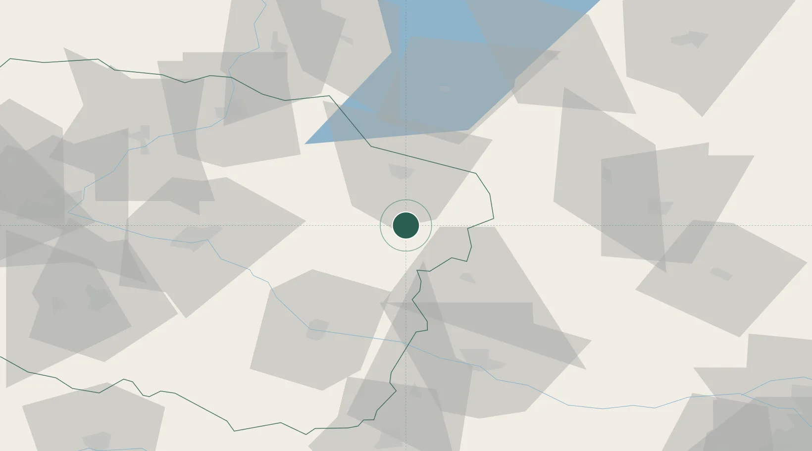
Location
Nearby Logistics Neighbours
Cities
- 1Mieslaczkowo22 km
- 2Golub-Dobrzyn25 km
- 3Sierpc29 km
- 4Lipno30 km
- 5Kowalewo Pomorskie36 km
Ports
- 1Gdansk151 km
- 2Nowy Port158 km
- 3Gdynia173 km
- 4Baltiysk177 km
- 5Kaliningrad195 km
Airports
Trade Zones
DatabookThe Record of Consolidated Knowledge
Poland beyond logistics?