Transport Functions
Rail
Road
Hub Profile
Place type
District seat
Region
Kujawsko-Pomorskie
Population
12,937
Time zone
Europe/Warsaw
Elevation
62 m
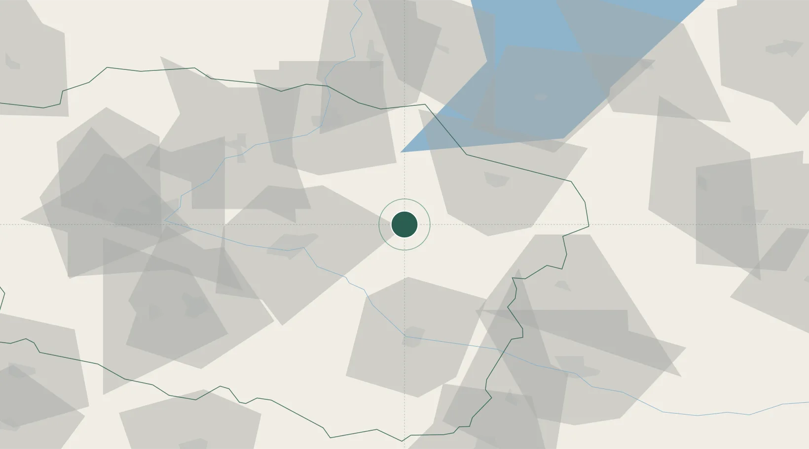
Location
Nearby Logistics Neighbours
Cities
- 1Kowalewo Pomorskie11 km
- 2Lubicz22 km
- 3Lubicz Dolny23 km
- 4Rypin25 km
- 5Lysomice29 km
Ports
- 1Gdansk141 km
- 2Nowy Port149 km
- 3Gdynia163 km
- 4Baltiysk179 km
- 5Kaliningrad201 km
Airports
Trade Zones
DatabookThe Record of Consolidated Knowledge
Poland beyond logistics?