Transport Functions
Rail
Road
Hub Profile
Place type
District seat
Region
Kujawsko-Pomorskie
Population
14,821
Time zone
Europe/Warsaw
Elevation
90 m
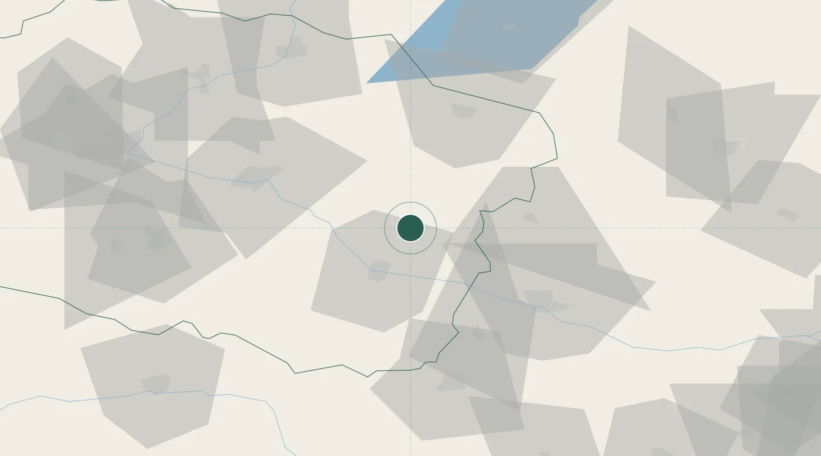
Location
Nearby Logistics Neighbours
Cities
- 1Wielgie10 km
- 2Rypin30 km
- 3Sierpc30 km
- 4Golub-Dobrzyn31 km
- 5Brzesc Kujawski33 km
Ports
- 1Gdansk172 km
- 2Nowy Port180 km
- 3Gdynia194 km
- 4Baltiysk205 km
- 5Kaliningrad224 km
Airports
Trade Zones
DatabookThe Record of Consolidated Knowledge
Poland beyond logistics?