UN/LOCODE hub · Poland
PLKPM
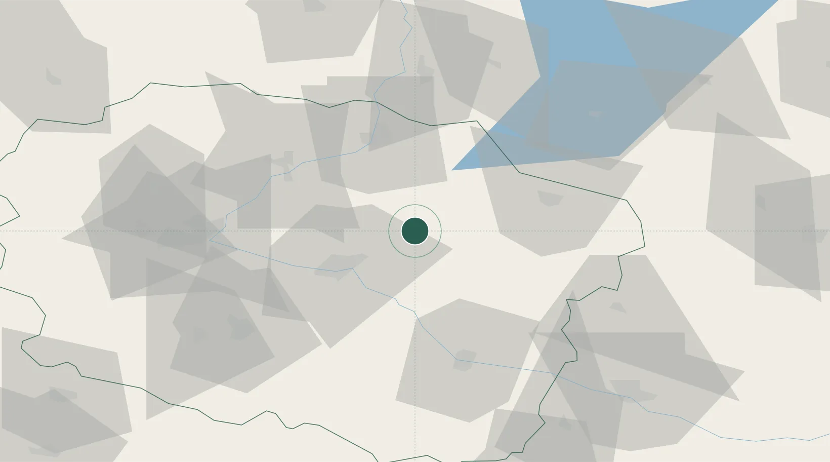
Kowalewo Pomorskie
53.1500°, 18.9000°
4,081
Population
2
Transport functions
Transport Functions
Rail
Road
Hub Profile
Place type
Populated place
Region
Kujawsko-Pomorskie
Population
4,081
Time zone
Europe/Warsaw
Elevation
92 m
Location
Nearby Logistics Neighbours
Cities
- 1Golub-Dobrzyn11 km
- 2Lubicz18 km
- 3Lubicz Dolny19 km
- 4Lysomice20 km
- 5Jablonowo Pomorskie32 km
Ports
- 1Gdansk134 km
- 2Nowy Port142 km
- 3Gdynia156 km
- 4Baltiysk178 km
- 5Kaliningrad201 km
Airports
Trade Zones
DatabookThe Record of Consolidated Knowledge
Poland beyond logistics?