Transport Functions
Rail
Road
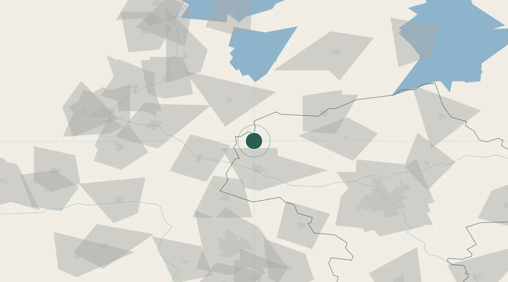
Hub Profile
Place type
Provincial seat
Region
Mazovia
Population
18,866
Time zone
Europe/Warsaw
Elevation
106 m
Location
Nearby Logistics Neighbours
Cities
- 1Wielgie28 km
- 2Rypin29 km
- 3Lipno30 km
- 4Mieslaczkowo43 km
- 5Strzegowo-Osada43 km
Ports
- 1Gdansk179 km
- 2Nowy Port186 km
- 3Baltiysk199 km
- 4Gdynia201 km
- 5Kaliningrad213 km
Airports
Trade Zones
DatabookThe Record of Consolidated Knowledge
Poland beyond logistics?