UN/LOCODE hub · Poland
PLMSS
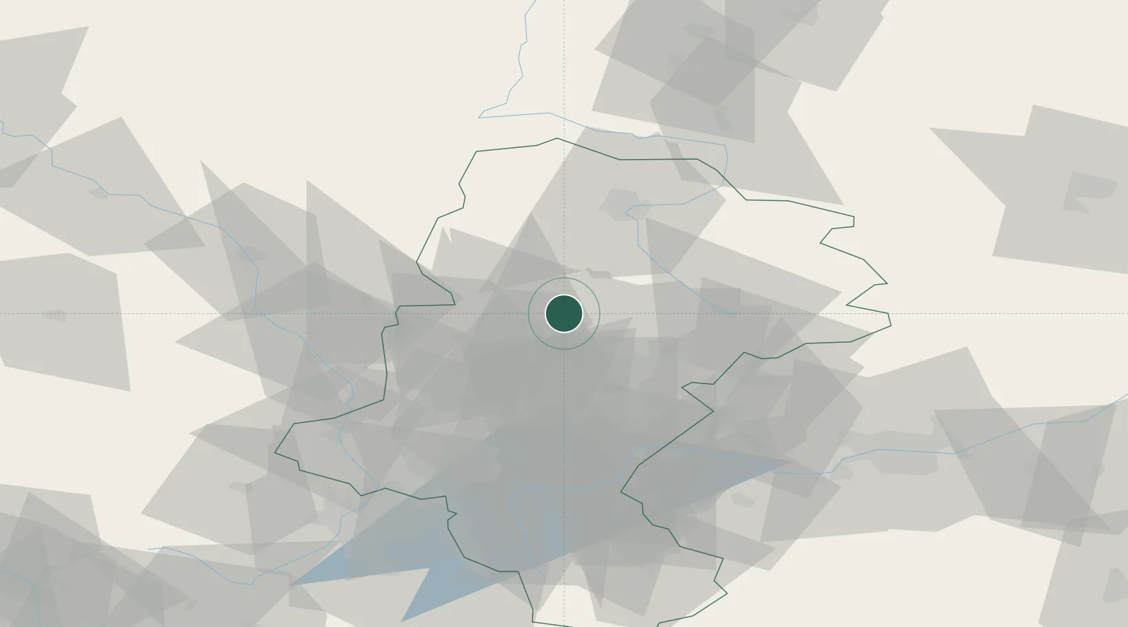
Miasteczko Slaskie
50.4833°, 18.9333°
7,044
Population
2
Transport functions
Transport Functions
Rail
Road
Hub Profile
Place type
Urban district
Region
Silesia
Population
7,044
Time zone
Europe/Warsaw
Elevation
301 m
Location
Nearby Logistics Neighbours
Cities
- 1Radzionków8 km
- 2Kalety10 km
- 3Zbroslawice19 km
- 4Siemianowice Slaskie22 km
- 5Czeladz22 km
Airports
Trade Zones
DatabookThe Record of Consolidated Knowledge
Poland beyond logistics?