Transport Functions
Rail
Road
Hub Profile
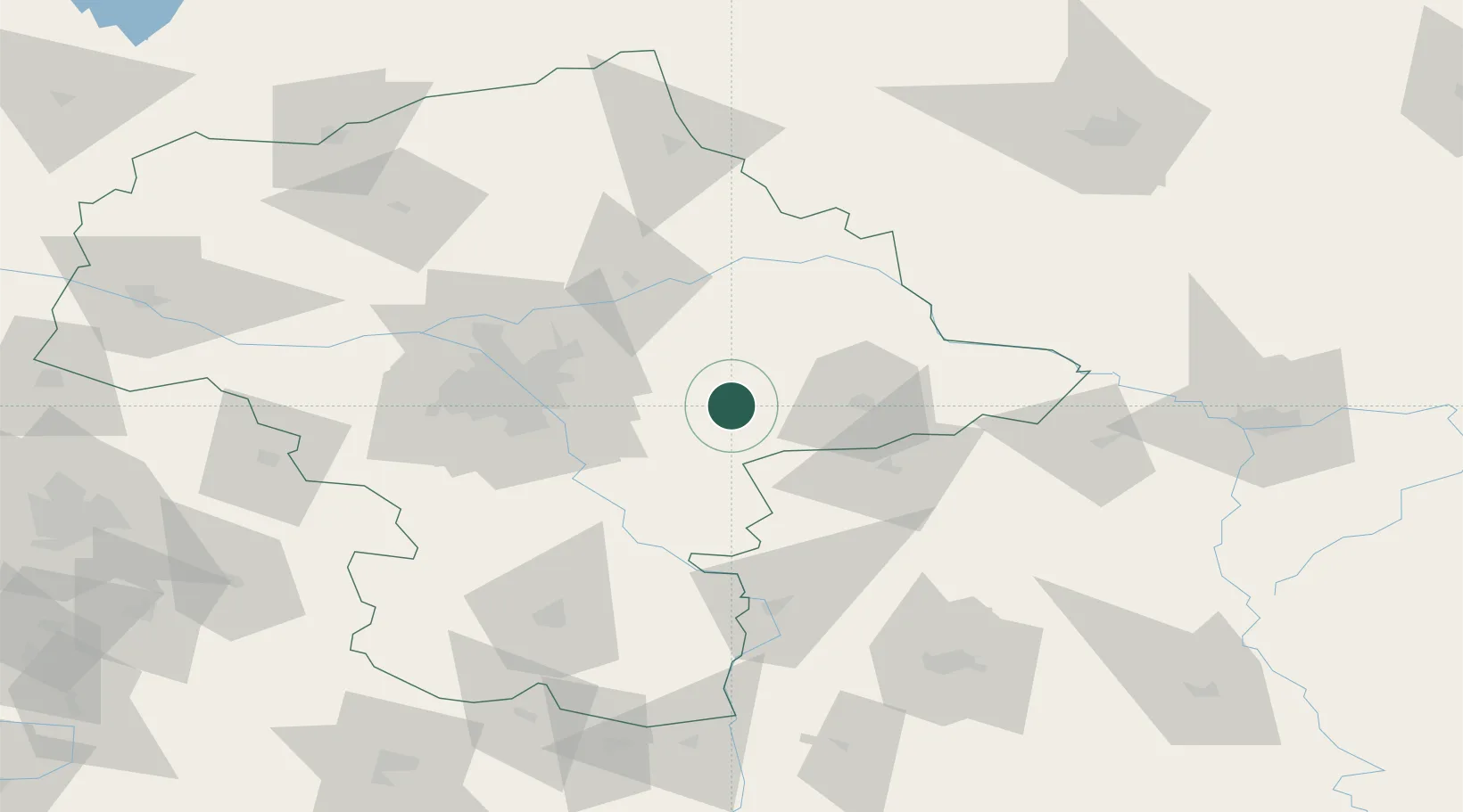
Place type
District seat
Region
Mazovia
Population
3,368
Time zone
Europe/Warsaw
Elevation
164 m
Location
Nearby Logistics Neighbours
Cities
- 1Minsk Mazowiecki16 km
- 2Nowe Opole25 km
- 3Wegrow30 km
- 4Pilawa30 km
- 5Otwock36 km
Ports
- 1Kaliningrad295 km
- 2Baltiysk302 km
- 3Gdansk320 km
- 4Nowy Port326 km
- 5Gdynia340 km
Airports
- 1Minsk Mazowiecki Military Air Base10 km
- 2Warsaw Chopin Airport57 km
- 3Deblin Military Air Base69 km
- 4Warsaw Modlin Airport84 km
- 5Warsaw Radom Airport95 km
Trade Zones
DatabookThe Record of Consolidated Knowledge
Poland beyond logistics?