UN/LOCODE hub · Poland
PLNOP

Nowe Opole

52.1667°, 22.1667°
2
Transport functions

Transport Functions

Rail
Road
UN/LOCODE

Hub Profile

Region
14
GeoNames

Location

Location of PLNOP
Natural Earth 10m (public domain) · 14 · PLNOP · 52.17, 22.17GoogleOSMYandex

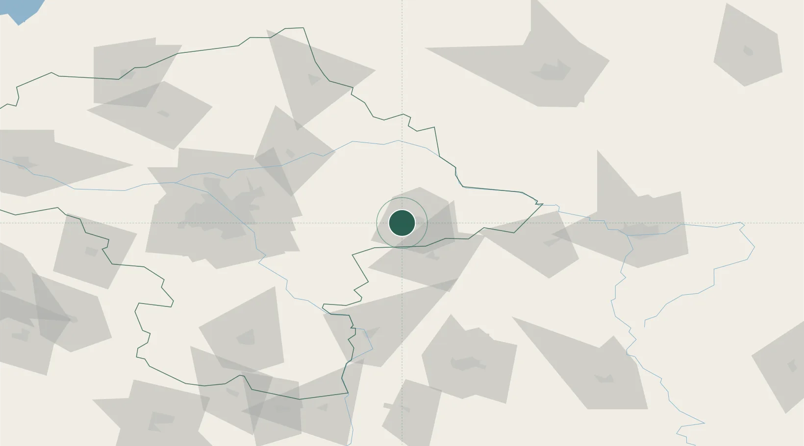
Nearby Logistics Neighbours

Cities
  1. 1Mrozy25 km
  2. 2Wegrow28 km
  3. 3Luków32 km
  4. 4Jablonna Lacka38 km
  5. 5Minsk Mazowiecki41 km
Nearest neighbours — logibook spatial index (haversine) over the source coordinates
Ports
  1. 1Kaliningrad303 km
  2. 2Baltiysk313 km
  3. 3Gdansk336 km
  4. 4Nowy Port342 km
  5. 5Gdynia356 km
Nearest neighbours — logibook spatial index (haversine) over the source coordinates
Airports
  1. 1Minsk Mazowiecki Military Air Base35 km
  2. 2Deblin Military Air Base71 km
  3. 3Warsaw Chopin Airport82 km
  4. 4Warsaw Modlin Airport108 km
  5. 5Warsaw Radom Airport108 km
Nearest neighbours — logibook spatial index (haversine) over the source coordinates
Trade Zones
  1. 1Warsaw Airport Duty Free Zone82 km
  2. 2Free Customs Area in Małaszewicze94 km
  3. 3Lublin Subzone (of Euro-Park Mielec)107 km
  4. 4Free Economic Zone Brest107 km
  5. 5East-West Duty Free Zone116 km
Nearest neighbours — logibook spatial index (haversine) over the source coordinates
DatabookThe Record of Consolidated Knowledge
Poland beyond logistics?
Browse databook

All Sources

LocationsUN/LOCODE
UN/LOCODE — free
Portsthe NGA World Port Index
Public domain (US gov)
AirportsOurAirports
Public domain
Trade Zonesthe World Bank SEZ database
CC BY 4.0
Trade ZonesOpen Zone Map
CC BY
← Poland locations