Transport Functions
Rail
Road
Hub Profile
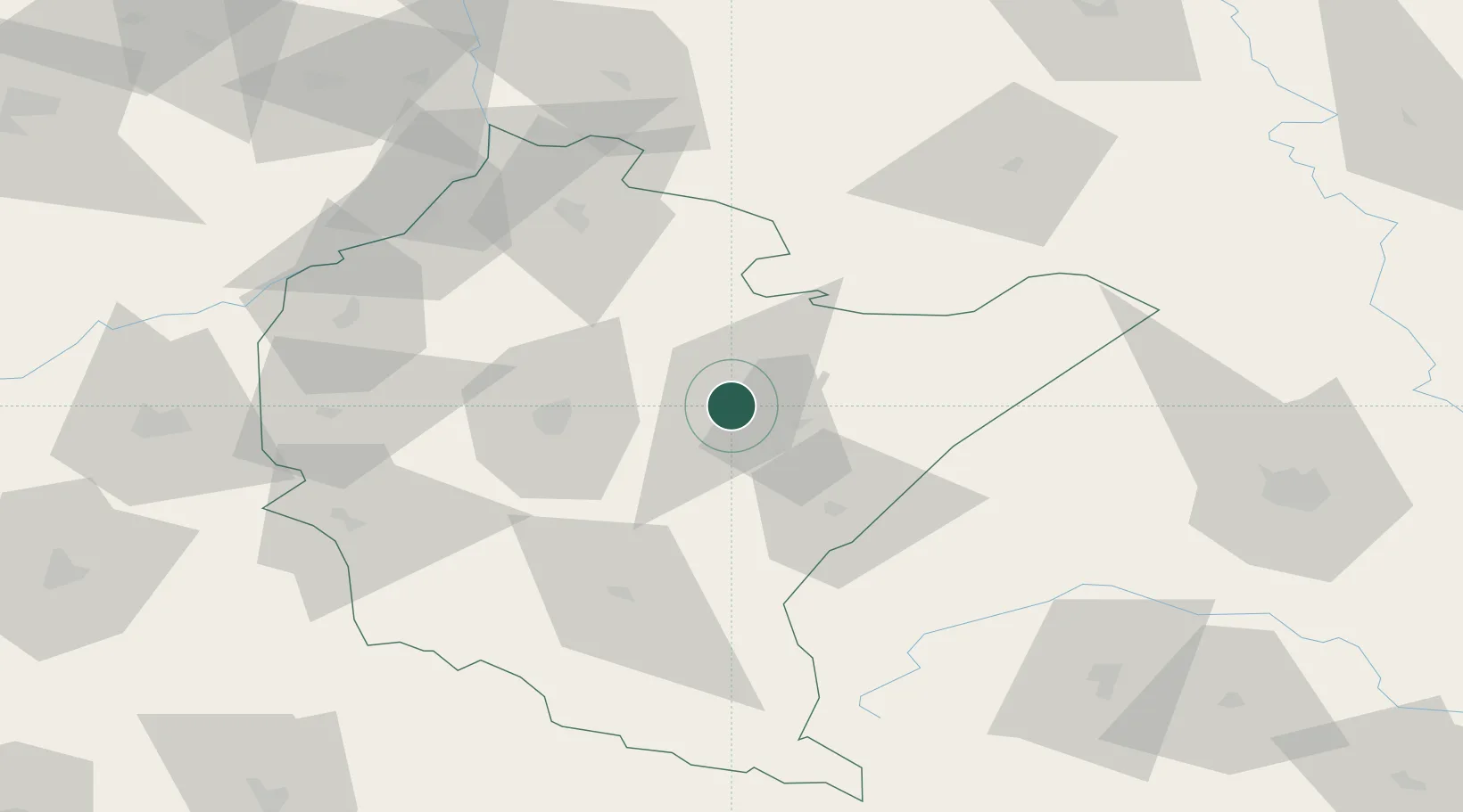
Place type
Provincial seat
Region
Subcarpathia
Population
15,805
Time zone
Europe/Warsaw
Elevation
201 m
Location
Nearby Logistics Neighbours
Ports
- 1Kaliningrad533 km
- 2Baltiysk538 km
- 3Gdansk543 km
- 4Nowy Port549 km
- 5Gdynia564 km
Airports
- 1Rzeszów-Jasionka Airport34 km
- 2Lviv International Airport108 km
- 3Lublin Airport131 km
- 4Uzhhorod International Airport160 km
- 5Deblin Military Air Base171 km
DatabookThe Record of Consolidated Knowledge
Poland beyond logistics?