Transport Functions
Rail
Road
Hub Profile
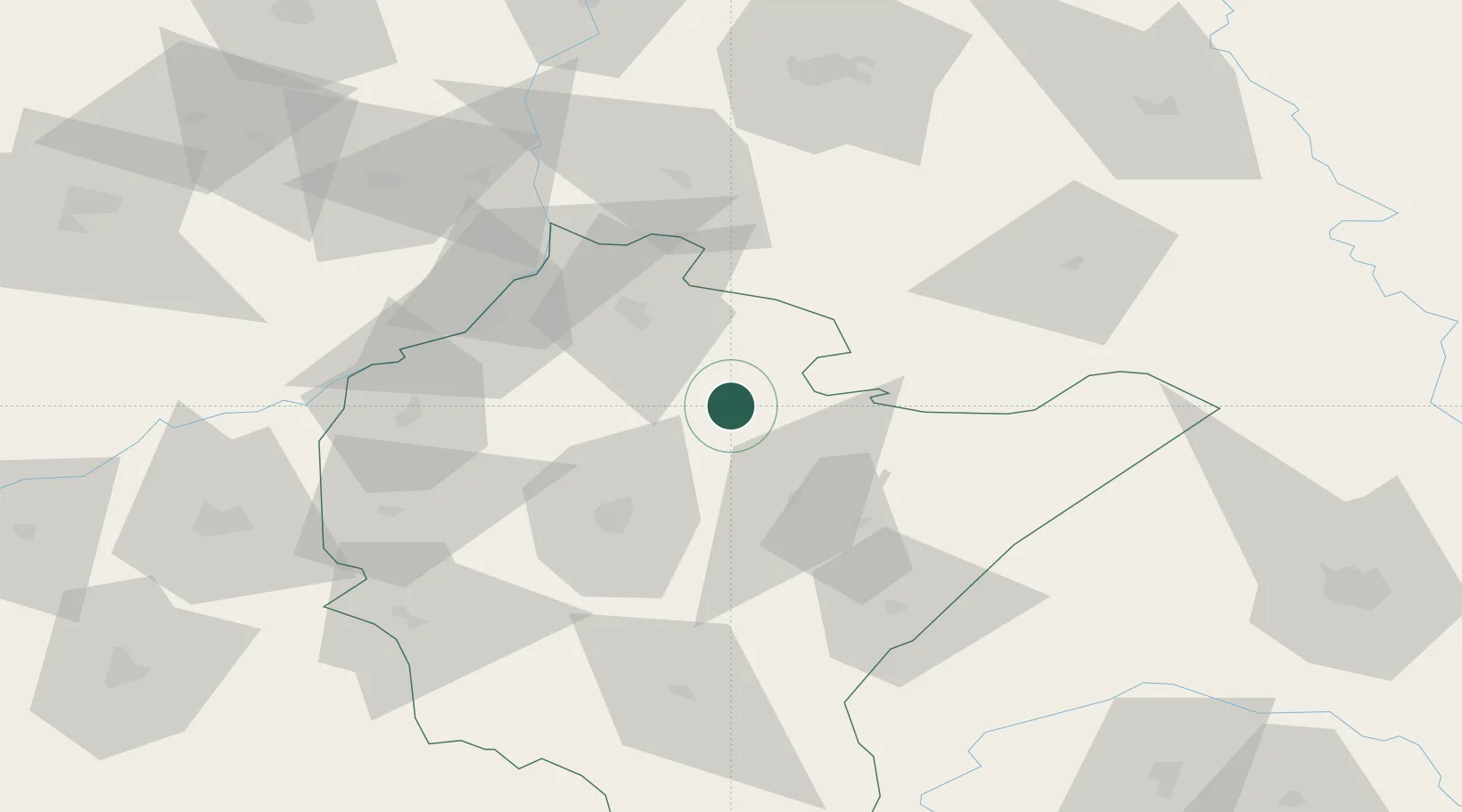
Place type
District seat
Region
Subcarpathia
Population
6,255
Time zone
Europe/Warsaw
Elevation
174 m
Location
Nearby Logistics Neighbours
Ports
- 1Kaliningrad501 km
- 2Baltiysk506 km
- 3Gdansk511 km
- 4Nowy Port518 km
- 5Gdynia533 km
Airports
- 1Rzeszów-Jasionka Airport33 km
- 2Lublin Airport104 km
- 3Lviv International Airport130 km
- 4Deblin Military Air Base139 km
- 5Warsaw Radom Airport141 km
Trade Zones
DatabookThe Record of Consolidated Knowledge
Poland beyond logistics?