Transport Functions
Multimodal
Hub Profile
Place type
District seat
Region
Mazovia
Population
10,319
Time zone
Europe/Warsaw
Elevation
90 m
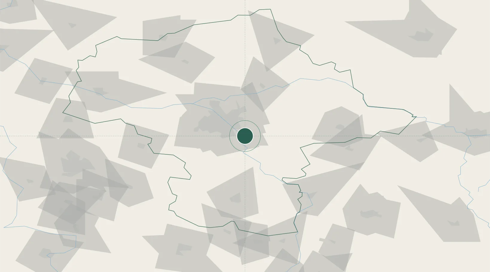
Location
Nearby Logistics Neighbours
Cities
- 1Otwock3 km
- 2Konstancin-Jeziorna9 km
- 3Konstantcin10 km
- 4Góra Kalwaria11 km
- 5Baniocha12 km
Ports
- 1Kaliningrad295 km
- 2Baltiysk297 km
- 3Gdansk305 km
- 4Nowy Port311 km
- 5Gdynia326 km
Airports
- 1Warsaw Chopin Airport21 km
- 2Minsk Mazowiecki Military Air Base30 km
- 3Warsaw Modlin Airport58 km
- 4Deblin Military Air Base74 km
- 5Warsaw Radom Airport77 km
Trade Zones
DatabookThe Record of Consolidated Knowledge
Poland beyond logistics?