Transport Functions
Port
Rail
Road
Hub Profile
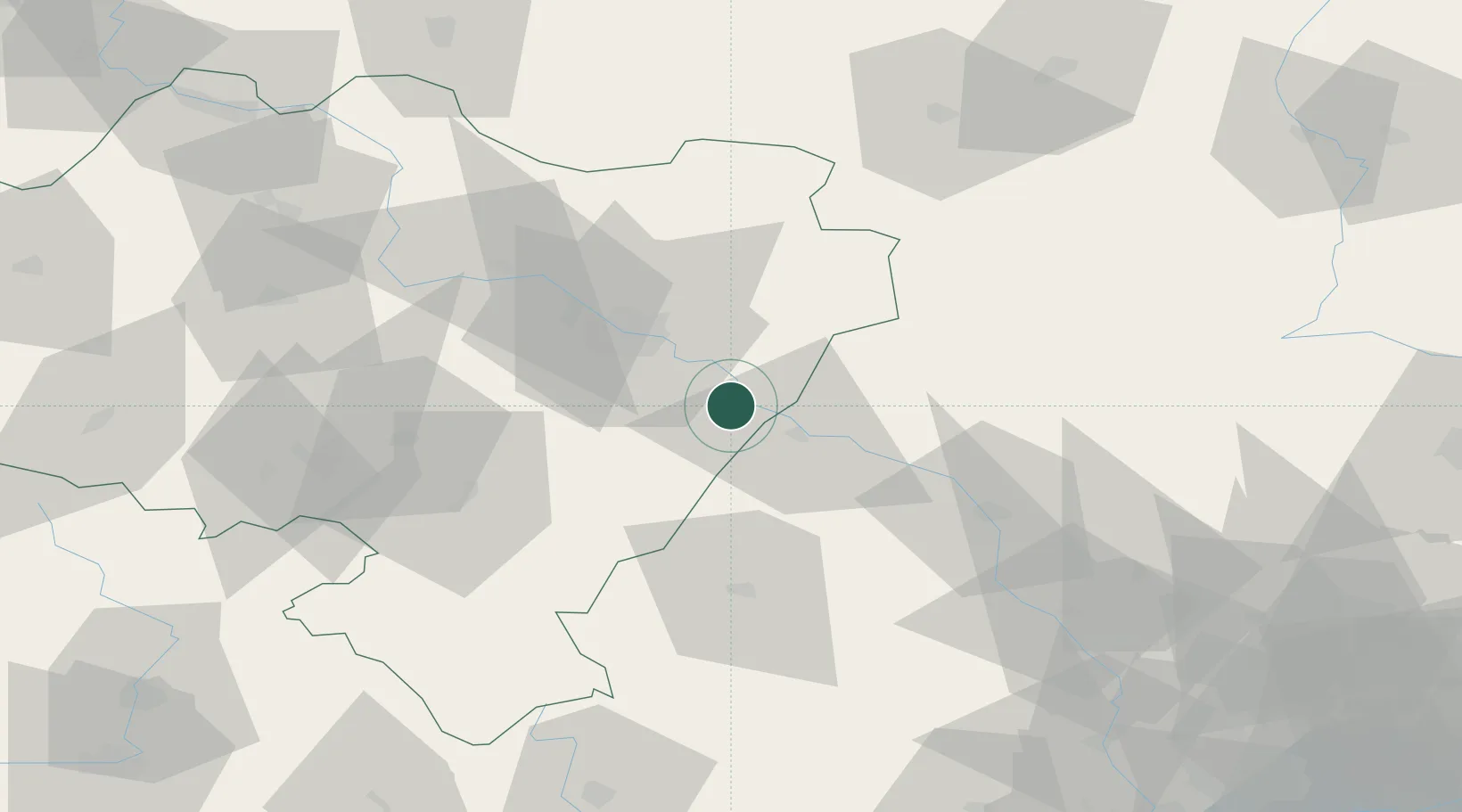
Place type
Populated place
Region
Lower Silesia
Population
33,029
Time zone
Europe/Warsaw
Elevation
129 m
Location
Nearby Logistics Neighbours
Cities
- 1Magnice24 km
- 2Losiów25 km
- 3Kobierzyce26 km
- 4Bierutów27 km
- 5Namyslów34 km
Ports
- 1Szczecin334 km
- 2Police347 km
- 3Kolobrzeg384 km
- 4Swinoujscie390 km
- 5Gdansk391 km
Airports
- 1Copernicus Wrocław Airport35 km
- 2Katowice Wojciech Korfanty International Airport135 km
- 3Łask Air Base148 km
- 4Leoš Janáček Airport Ostrava149 km
- 5Pardubice Airport150 km
Trade Zones
DatabookThe Record of Consolidated Knowledge
Poland beyond logistics?