Transport Functions
Port
Road
Hub Profile
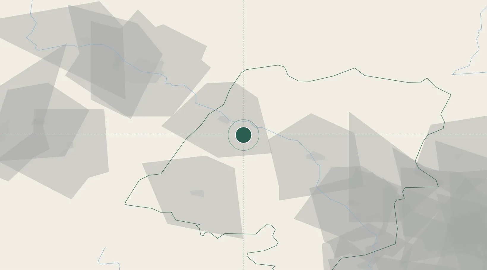
Place type
Populated place
Region
Opole Voivodeship
Population
1,600
Time zone
Europe/Warsaw
Elevation
161 m
Location
Nearby Logistics Neighbours
Airports
- 1Copernicus Wrocław Airport60 km
- 2Katowice Wojciech Korfanty International Airport112 km
- 3Leoš Janáček Airport Ostrava127 km
- 4Łask Air Base141 km
- 5Přerov Air Base151 km
Trade Zones
DatabookThe Record of Consolidated Knowledge
Poland beyond logistics?