Transport Functions
Rail
Road
Multimodal
Hub Profile
Place type
District seat
Region
Lower Silesia
Population
2,095
Time zone
Europe/Warsaw
Elevation
137 m
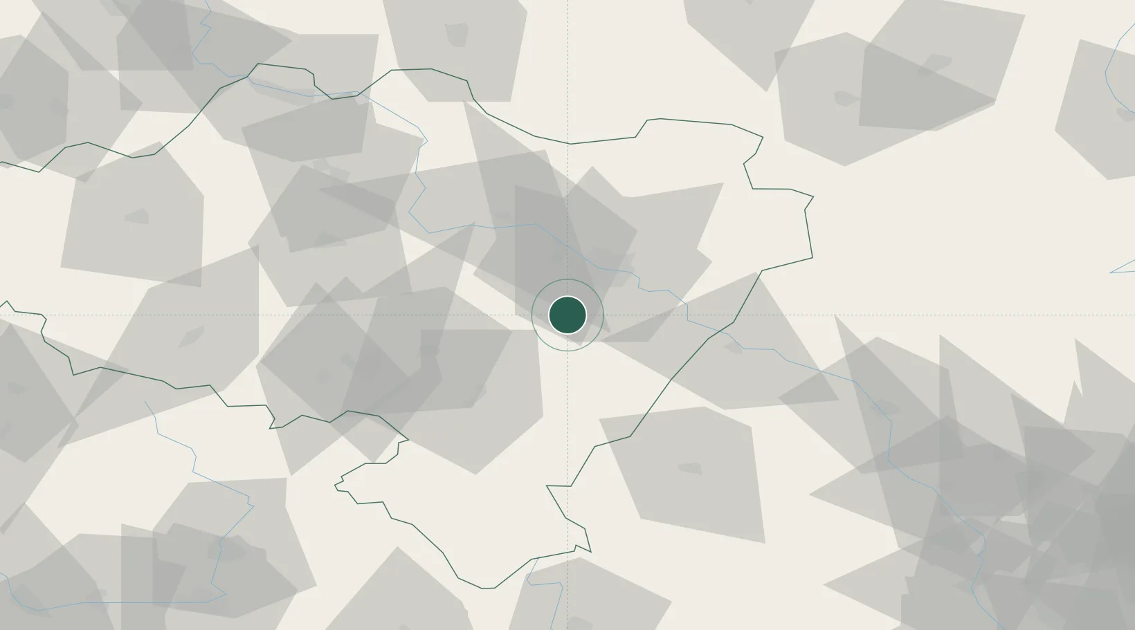
Location
Nearby Logistics Neighbours
Cities
- 1Magnice3 km
- 2Mietków20 km
- 3Kostomloty24 km
- 4Olawa26 km
- 5Pszenno29 km
Ports
- 1Szczecin317 km
- 2Police331 km
- 3Kolobrzeg373 km
- 4Swinoujscie375 km
- 5Darlowo387 km
Airports
- 1Copernicus Wrocław Airport16 km
- 2Pardubice Airport135 km
- 3Rothenburg/Görlitz Airfield145 km
- 4Krzesiny Military Air Base152 km
- 5Zielona Góra-Babimost Airport152 km
Trade Zones
DatabookThe Record of Consolidated Knowledge
Poland beyond logistics?