UN/LOCODE hub · Poland
PLMIN
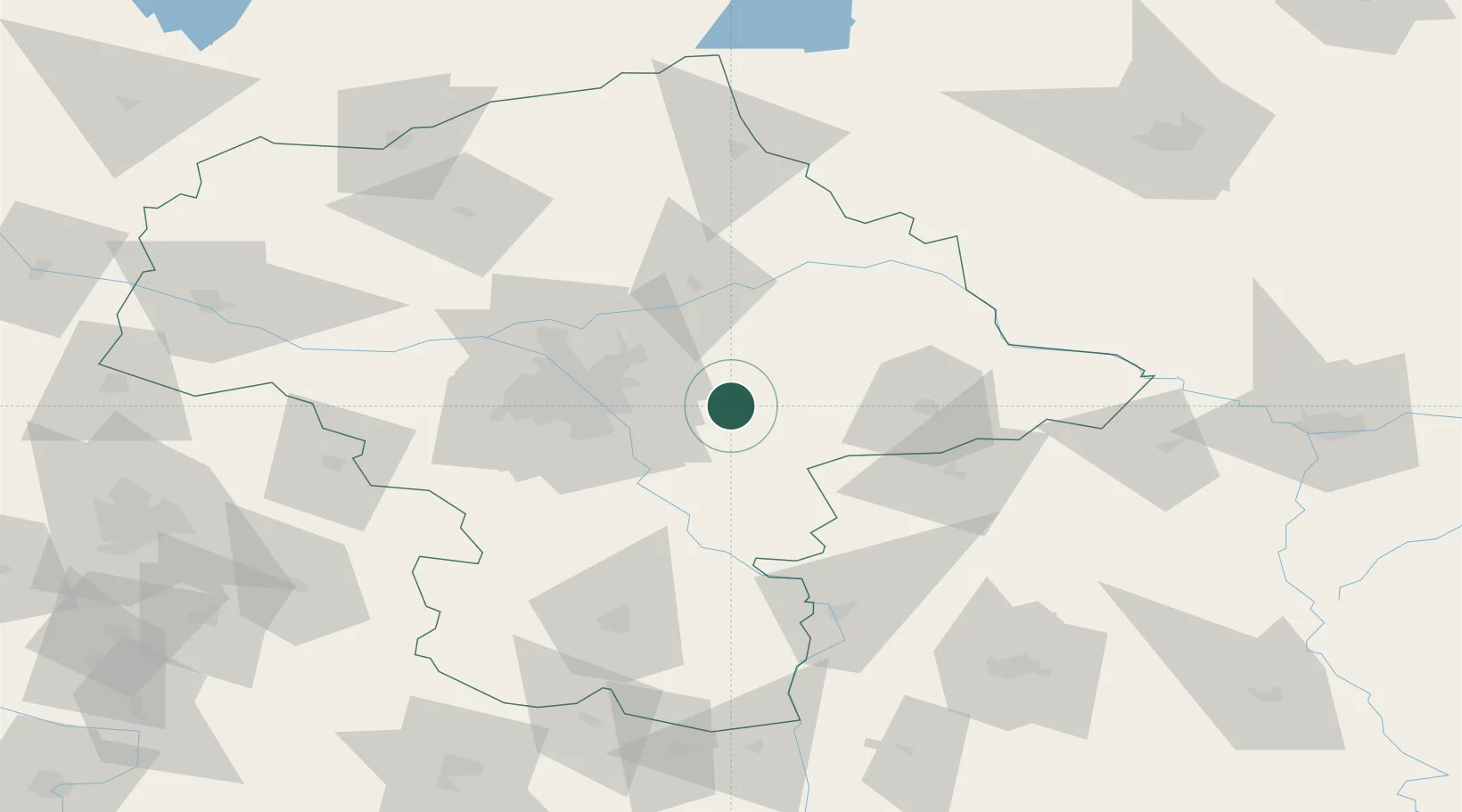
Minsk Mazowiecki
52.1833°, 21.5667°
37,027
Population
2
Transport functions
Transport Functions
Rail
Road
Hub Profile
Place type
Provincial seat
Region
Mazovia
Population
37,027
Time zone
Europe/Warsaw
Elevation
150 m
Location
Nearby Logistics Neighbours
Ports
- 1Kaliningrad289 km
- 2Baltiysk294 km
- 3Gdansk309 km
- 4Nowy Port314 km
- 5Gdynia329 km
Airports
Trade Zones
DatabookThe Record of Consolidated Knowledge
Poland beyond logistics?