Transport Functions
Rail
Road
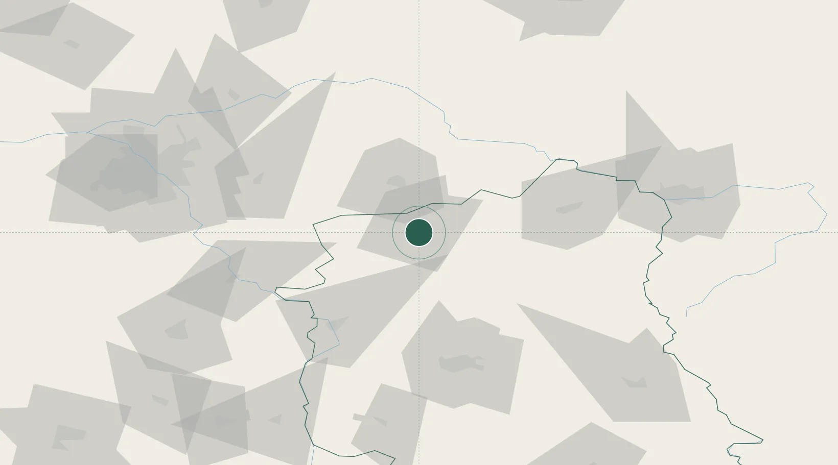
Hub Profile
Place type
District seat
Region
Lublin
Population
30,465
Time zone
Europe/Warsaw
Elevation
159 m
Location
Nearby Logistics Neighbours
Cities
- 1Miedzyrzec Podlaski28 km
- 2Nowe Opole32 km
- 3Kloczew35 km
- 4Hutton43 km
- 5Ryki44 km
Ports
- 1Kaliningrad334 km
- 2Baltiysk344 km
- 3Gdansk367 km
- 4Nowy Port372 km
- 5Gdynia387 km
Airports
- 1Deblin Military Air Base53 km
- 2Minsk Mazowiecki Military Air Base59 km
- 3Lublin Airport79 km
- 4Warsaw Radom Airport100 km
- 5Warsaw Chopin Airport101 km
Trade Zones
DatabookThe Record of Consolidated Knowledge
Poland beyond logistics?