Transport Functions
Rail
Road
Hub Profile
Place type
District seat
Region
Mazovia
Population
7,445
Time zone
Europe/Warsaw
Elevation
108 m
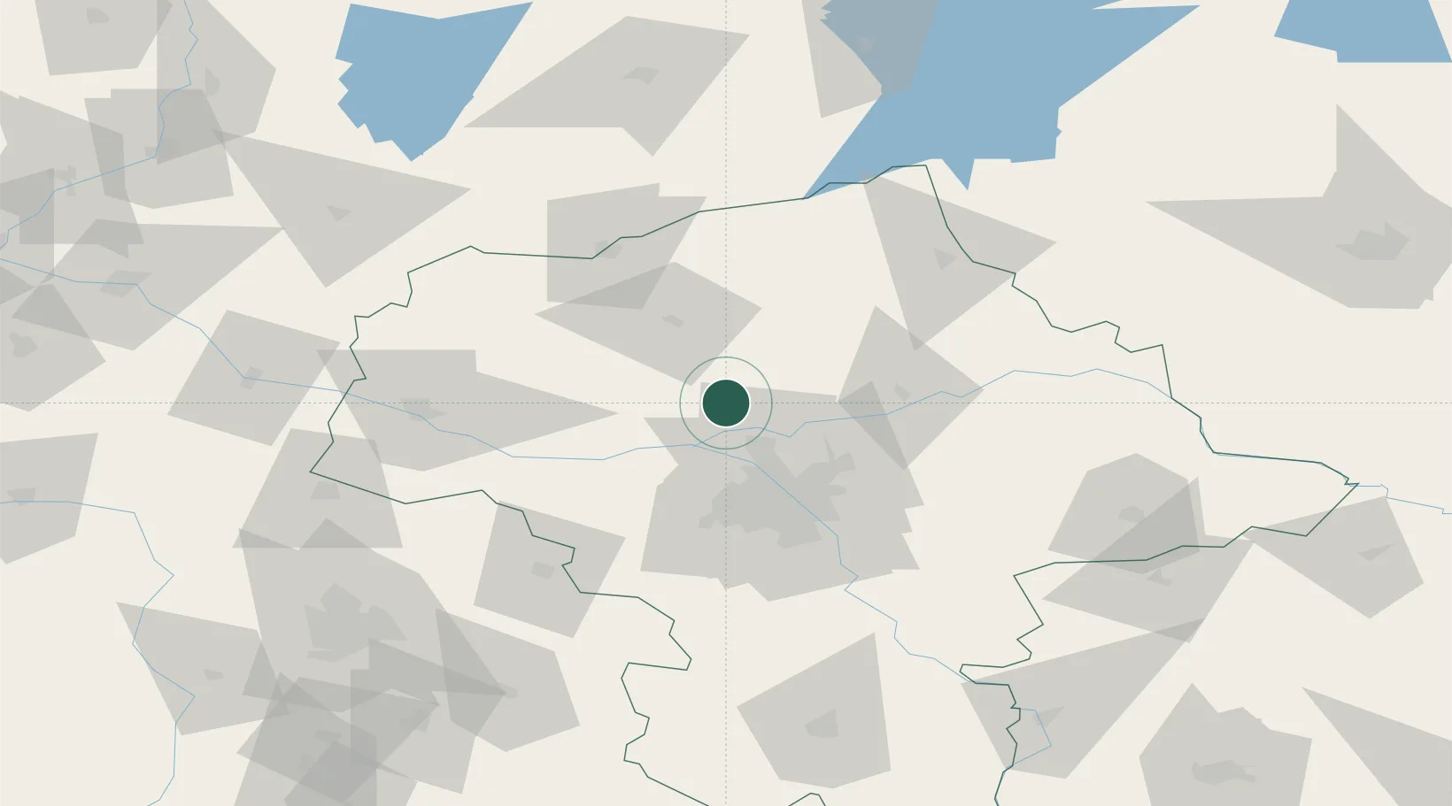
Location
Nearby Logistics Neighbours
Cities
- 1Pomiechówek14 km
- 2Legionowo22 km
- 3Sonsk23 km
- 4Nieporet24 km
- 5Radzymin25 km
Ports
- 1Baltiysk236 km
- 2Kaliningrad236 km
- 3Gdansk242 km
- 4Nowy Port248 km
- 5Gdynia263 km
Airports
Trade Zones
DatabookThe Record of Consolidated Knowledge
Poland beyond logistics?