Transport Functions
Rail
Road
Multimodal
Hub Profile
Place type
District seat
Region
Mazovia
Population
881
Time zone
Europe/Warsaw
Elevation
101 m
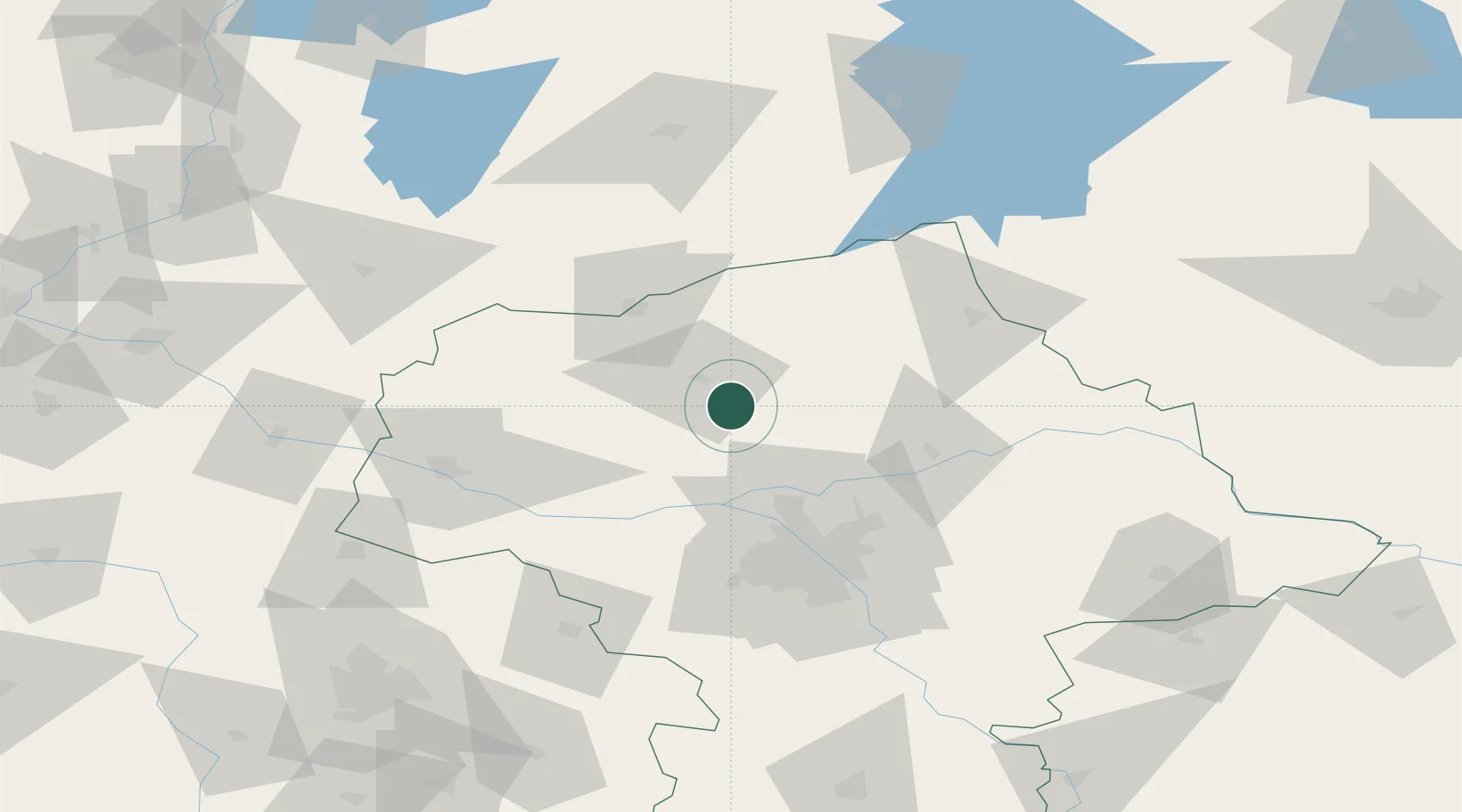
Location
Nearby Logistics Neighbours
Cities
- 1Nasielsk23 km
- 2Przasnysz30 km
- 3Konotopa31 km
- 4Strzegowo-Osada32 km
- 5Pomiechówek35 km
Ports
- 1Baltiysk213 km
- 2Kaliningrad214 km
- 3Gdansk221 km
- 4Nowy Port226 km
- 5Gdynia241 km
Airports
- 1Warsaw Modlin Airport37 km
- 2Warsaw Chopin Airport71 km
- 3Olsztyn-Mazury Airport79 km
- 4Minsk Mazowiecki Military Air Base91 km
- 5Leźnica Wielka Air Base137 km
Trade Zones
DatabookThe Record of Consolidated Knowledge
Poland beyond logistics?