Transport Functions
Rail
Road
Hub Profile
Place type
District seat
Region
Mazovia
Population
936
Time zone
Europe/Warsaw
Elevation
82 m
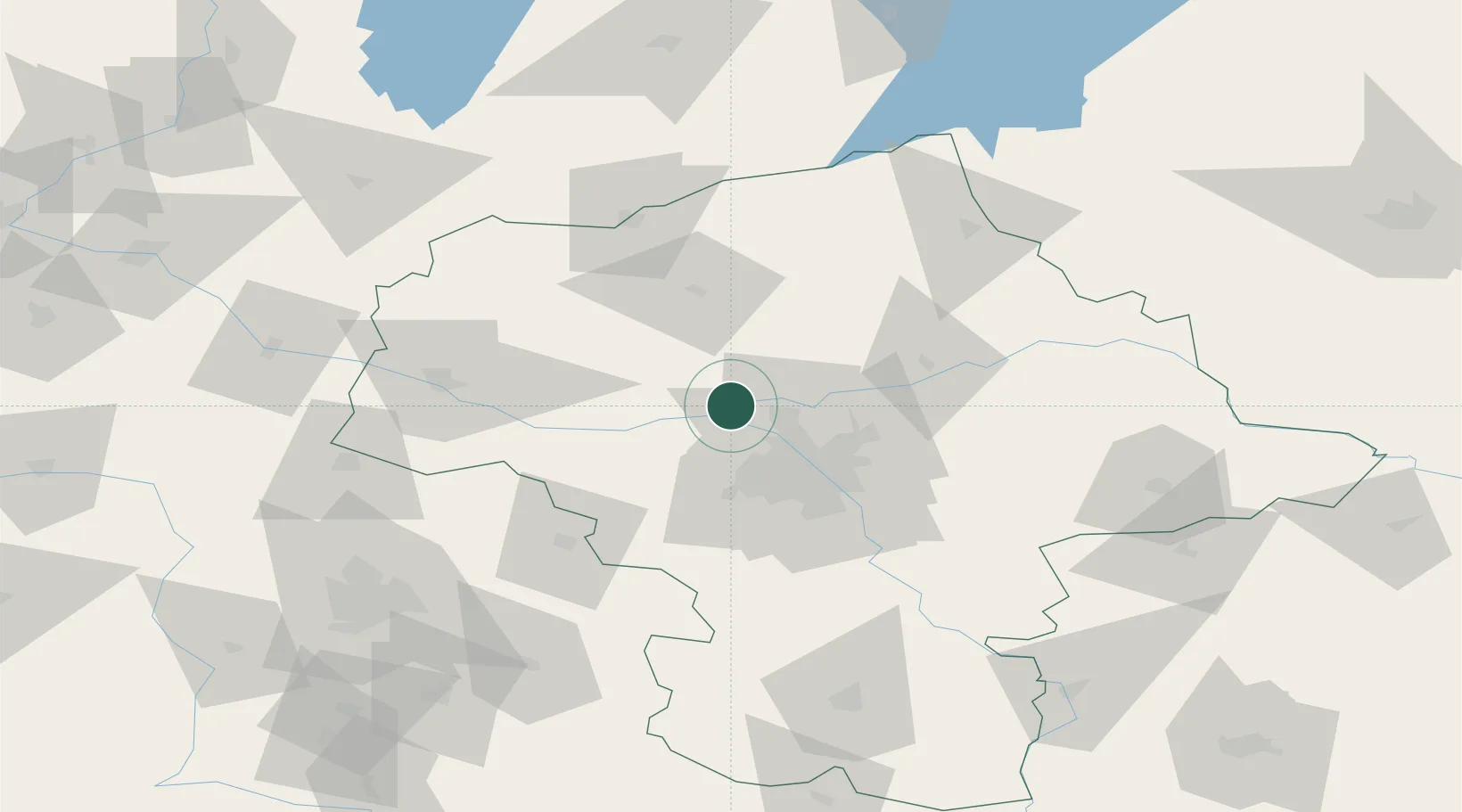
Location
Nearby Logistics Neighbours
Cities
- 1Nasielsk14 km
- 2Legionowo15 km
- 3Nieporet22 km
- 4Radzymin23 km
- 5Stare Babice25 km
Ports
- 1Baltiysk247 km
- 2Kaliningrad249 km
- 3Gdansk250 km
- 4Nowy Port256 km
- 5Gdynia271 km
Airports
Trade Zones
DatabookThe Record of Consolidated Knowledge
Poland beyond logistics?