UN/LOCODE hub · Poland
PLGOW
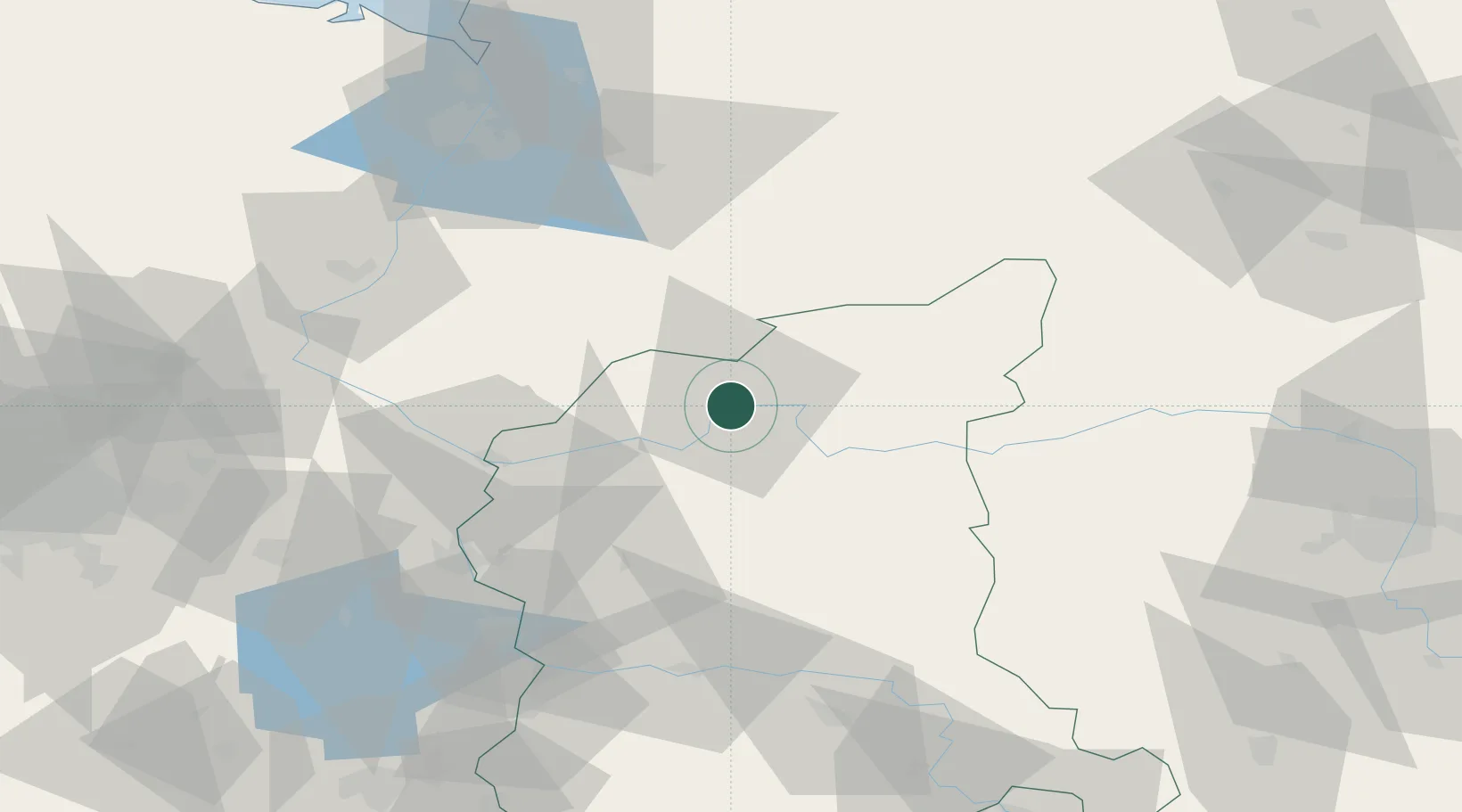
Gorzów Wielkopolski
52.7333°, 15.2333°
114,567
Population
2
Transport functions
Transport Functions
Rail
Road
Hub Profile
Place type
Regional capital
Region
Lubusz
Population
114,567
Time zone
Europe/Warsaw
Elevation
42 m
Location
Nearby Logistics Neighbours
Ports
- 1Szczecin89 km
- 2Police103 km
- 3Swinoujscie146 km
- 4Kolobrzeg166 km
- 5Wolgast175 km
Airports
Trade Zones
- 1Kostrzyń-Słubice SEZ43 km
- 2Szczecin Duty Free Zone88 km
- 3Swinoujscie Duty Free Zone144 km
- 4Legnica SEZ (Legnicka SSE)169 km
- 5Kamienna Góra223 km
DatabookThe Record of Consolidated Knowledge
Poland beyond logistics?