Transport Functions
Road
Multimodal
Hub Profile
Place type
Provincial seat
Region
Lesser Poland
Population
17,686
Time zone
Europe/Warsaw
Elevation
304 m
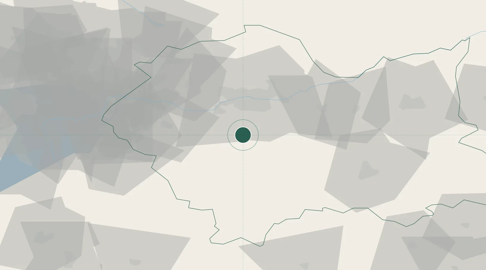
Location
Nearby Logistics Neighbours
Cities
- 1Jawornik5 km
- 2Borek Szlachecki19 km
- 3Kalwaria Zebrzydowska20 km
- 4Jordanów22 km
- 5Maków Podhalanski22 km
Ports
- 1Gdansk510 km
- 2Nowy Port517 km
- 3Gdynia531 km
- 4Baltiysk534 km
- 5Kaliningrad542 km
Airports
Trade Zones
- 1Kraków Technology Park21 km
- 2Katowice SEZ (Katowicka SSE)88 km
- 3Karvinská Specialized Economic Zone103 km
- 4Silesian Center for Logistics109 km
- 5Euro-Park Mielec121 km
DatabookThe Record of Consolidated Knowledge
Poland beyond logistics?