UN/LOCODE hub · Poland
PLMPA
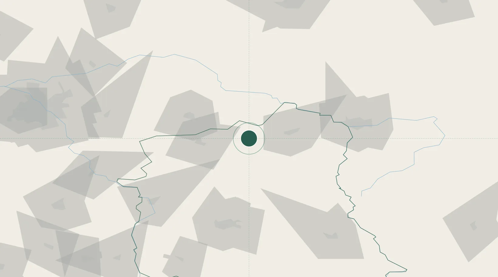
Miedzyrzec Podlaski
51.9833°, 22.7833°
17,158
Population
2
Transport functions
Transport Functions
Rail
Road
Hub Profile
Place type
District seat
Region
Lublin
Population
17,158
Time zone
Europe/Warsaw
Elevation
148 m
Location
Nearby Logistics Neighbours
Cities
- 1Luków28 km
- 2Nowe Opole47 km
- 3Malaszewicze51 km
- 4Pakosc52 km
- 5Kobylany54 km
Ports
- 1Kaliningrad338 km
- 2Baltiysk351 km
- 3Gdansk380 km
- 4Nowy Port385 km
- 5Gdynia400 km
Airports
- 1Brest International Airport77 km
- 2Deblin Military Air Base78 km
- 3Minsk Mazowiecki Military Air Base81 km
- 4Lublin Airport83 km
- 5Warsaw Chopin Airport126 km
Trade Zones
DatabookThe Record of Consolidated Knowledge
Poland beyond logistics?