Transport Functions
Rail
Road
Hub Profile
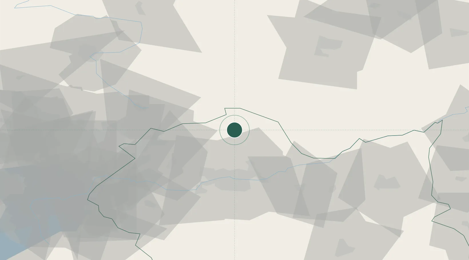
Place type
Provincial seat
Region
Lesser Poland
Population
11,735
Time zone
Europe/Warsaw
Elevation
298 m
Location
Nearby Logistics Neighbours
Cities
- 1Lyszkowice23 km
- 2Dzialoszyce24 km
- 3Zabierzow30 km
- 4Szczyglice31 km
- 5Klucze32 km
Ports
- 1Gdansk454 km
- 2Nowy Port461 km
- 3Gdynia476 km
- 4Baltiysk476 km
- 5Kaliningrad485 km
Airports
Trade Zones
DatabookThe Record of Consolidated Knowledge
Poland beyond logistics?