Transport Functions
Rail
Road
Postal
Hub Profile
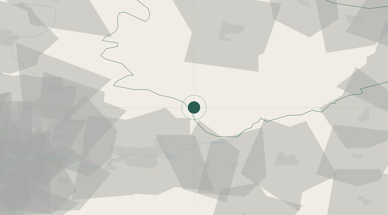
Place type
District seat
Region
Świętokrzyskie
Population
1,040
Time zone
Europe/Warsaw
Elevation
213 m
Location
Nearby Logistics Neighbours
Cities
- 1Lyszkowice23 km
- 2Miechów24 km
- 3Busko-Zdrój28 km
- 4Jedrzejow30 km
- 5Lipnik31 km
Ports
- 1Gdansk457 km
- 2Nowy Port465 km
- 3Baltiysk475 km
- 4Gdynia479 km
- 5Kaliningrad482 km
Airports
Trade Zones
DatabookThe Record of Consolidated Knowledge
Poland beyond logistics?