Transport Functions
Rail
Road
Hub Profile
Place type
Populated place
Region
Lesser Poland
Time zone
Europe/Warsaw
Elevation
271 m
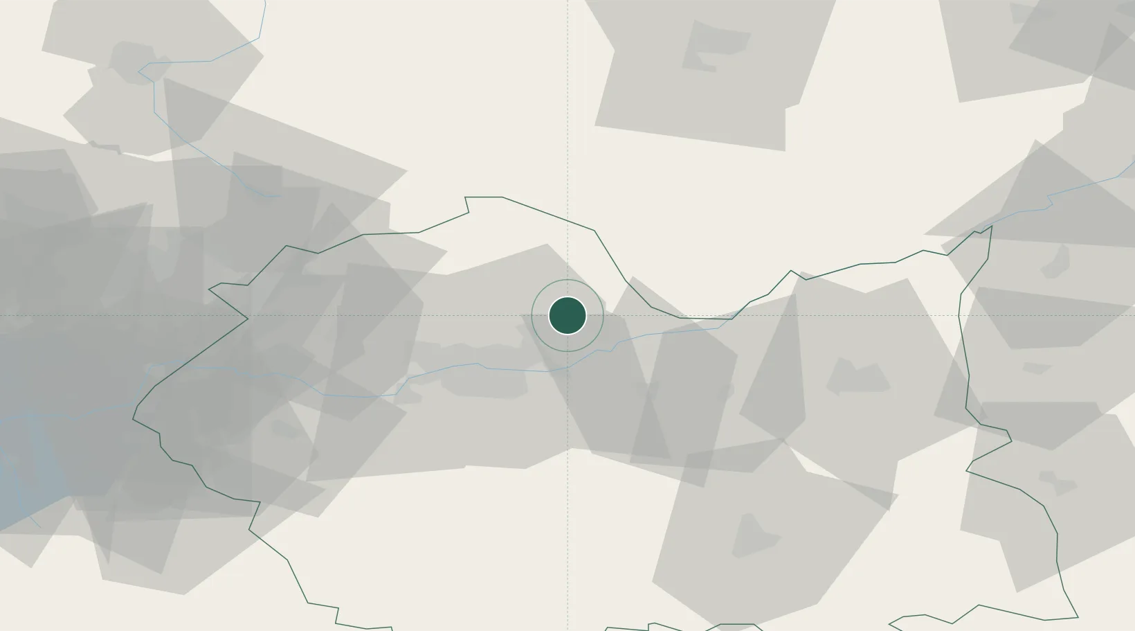
Location
Nearby Logistics Neighbours
Cities
- 1Ploxo15 km
- 2Dzialoszyce23 km
- 3Klaj23 km
- 4Miechów23 km
- 5Stanislawice24 km
Ports
- 1Gdansk475 km
- 2Nowy Port482 km
- 3Baltiysk495 km
- 4Gdynia497 km
- 5Kaliningrad503 km
Airports
Trade Zones
DatabookThe Record of Consolidated Knowledge
Poland beyond logistics?