Transport Functions
Rail
Road
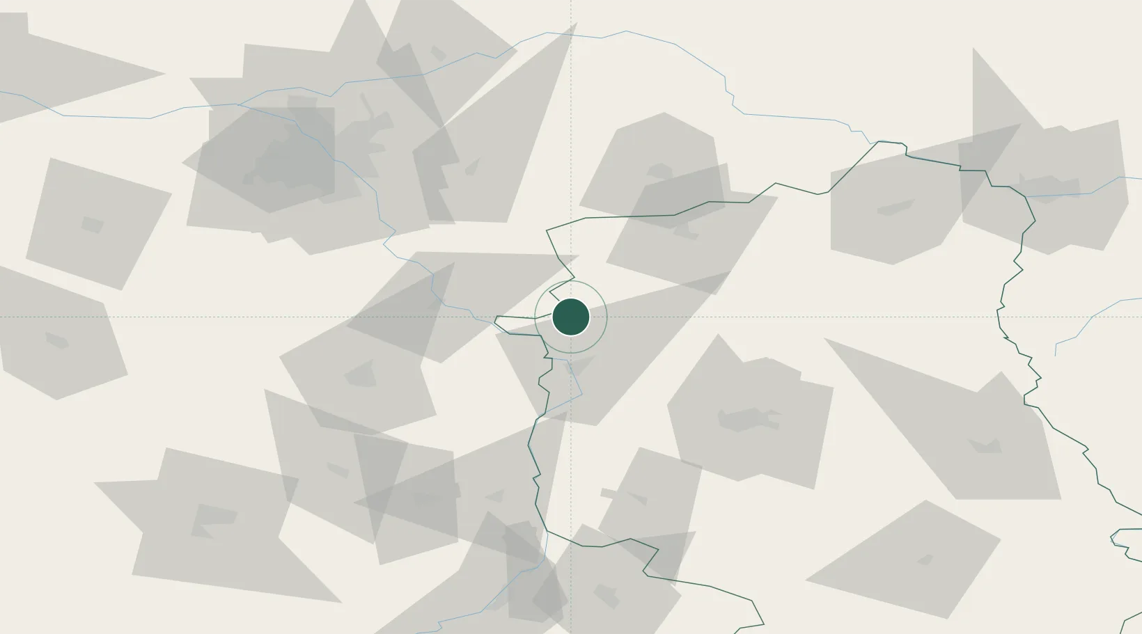
Hub Profile
Place type
Provincial seat
Region
Lublin
Population
9,619
Time zone
Europe/Warsaw
Elevation
149 m
Location
Nearby Logistics Neighbours
Cities
- 1Hutton5 km
- 2Kloczew11 km
- 3Pulawy24 km
- 4Konskowola25 km
- 5Garbatka-Letnisko26 km
Ports
- 1Kaliningrad354 km
- 2Baltiysk360 km
- 3Gdansk373 km
- 4Nowy Port379 km
- 5Gdynia394 km
Airports
- 1Deblin Military Air Base10 km
- 2Warsaw Radom Airport57 km
- 3Minsk Mazowiecki Military Air Base65 km
- 4Lublin Airport70 km
- 5Warsaw Chopin Airport89 km
Trade Zones
DatabookThe Record of Consolidated Knowledge
Poland beyond logistics?