Transport Functions
Multimodal
Hub Profile
Place type
District seat
Region
Lublin
Population
886
Time zone
Europe/Warsaw
Elevation
157 m
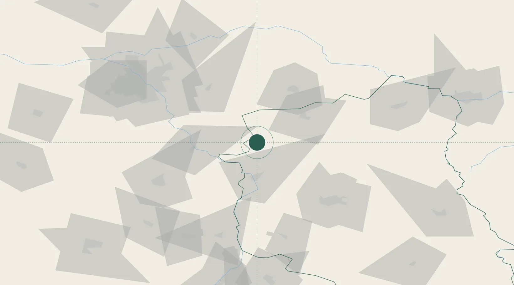
Location
Nearby Logistics Neighbours
Cities
- 1Ryki11 km
- 2Hutton13 km
- 3Laskarzew27 km
- 4Garbatka-Letnisko35 km
- 5Luków35 km
Ports
- 1Kaliningrad344 km
- 2Baltiysk351 km
- 3Gdansk365 km
- 4Nowy Port371 km
- 5Gdynia386 km
Airports
- 1Deblin Military Air Base21 km
- 2Minsk Mazowiecki Military Air Base56 km
- 3Warsaw Radom Airport65 km
- 4Lublin Airport75 km
- 5Warsaw Chopin Airport84 km
Trade Zones
DatabookThe Record of Consolidated Knowledge
Poland beyond logistics?