Transport Functions
Port
Multimodal
Hub Profile
Place type
Populated place
Region
England
Time zone
Europe/London
Elevation
65 m
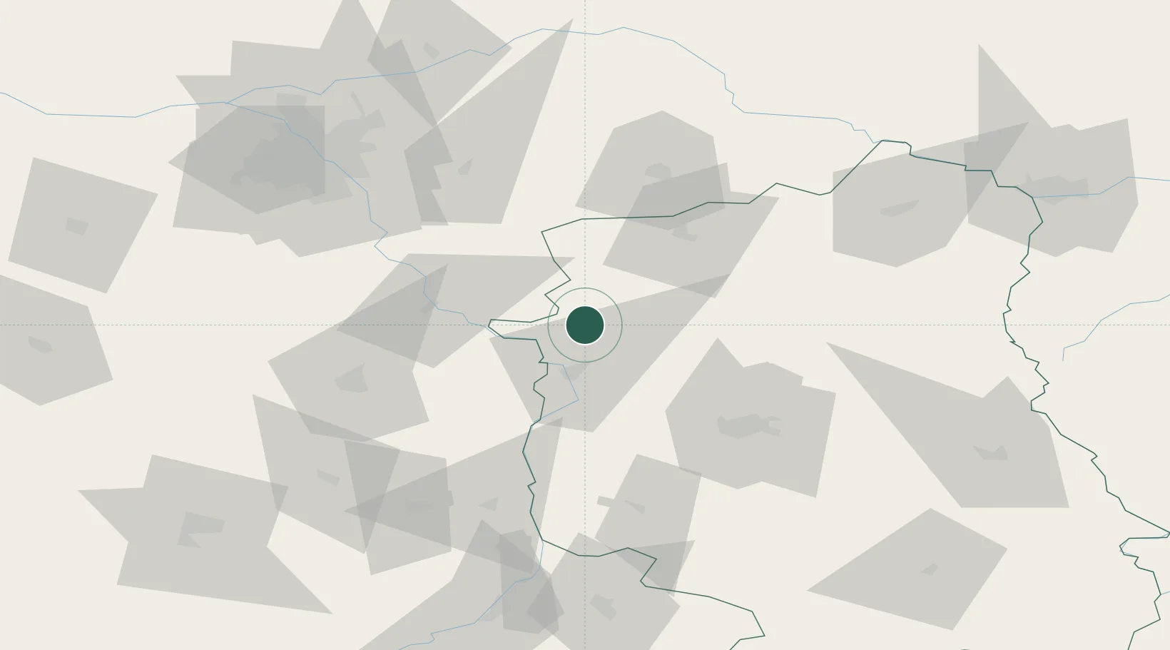
Location
Nearby Logistics Neighbours
Cities
- 1Ryki5 km
- 2Kloczew13 km
- 3Pulawy22 km
- 4Konskowola23 km
- 5Garbatka-Letnisko29 km
Ports
- 1Kaliningrad357 km
- 2Baltiysk364 km
- 3Gdansk377 km
- 4Nowy Port383 km
- 5Gdynia398 km
Airports
- 1Deblin Military Air Base10 km
- 2Warsaw Radom Airport60 km
- 3Lublin Airport65 km
- 4Minsk Mazowiecki Military Air Base69 km
- 5Warsaw Chopin Airport94 km
Trade Zones
DatabookThe Record of Consolidated Knowledge
United Kingdom beyond logistics?