Transport Functions
Multimodal
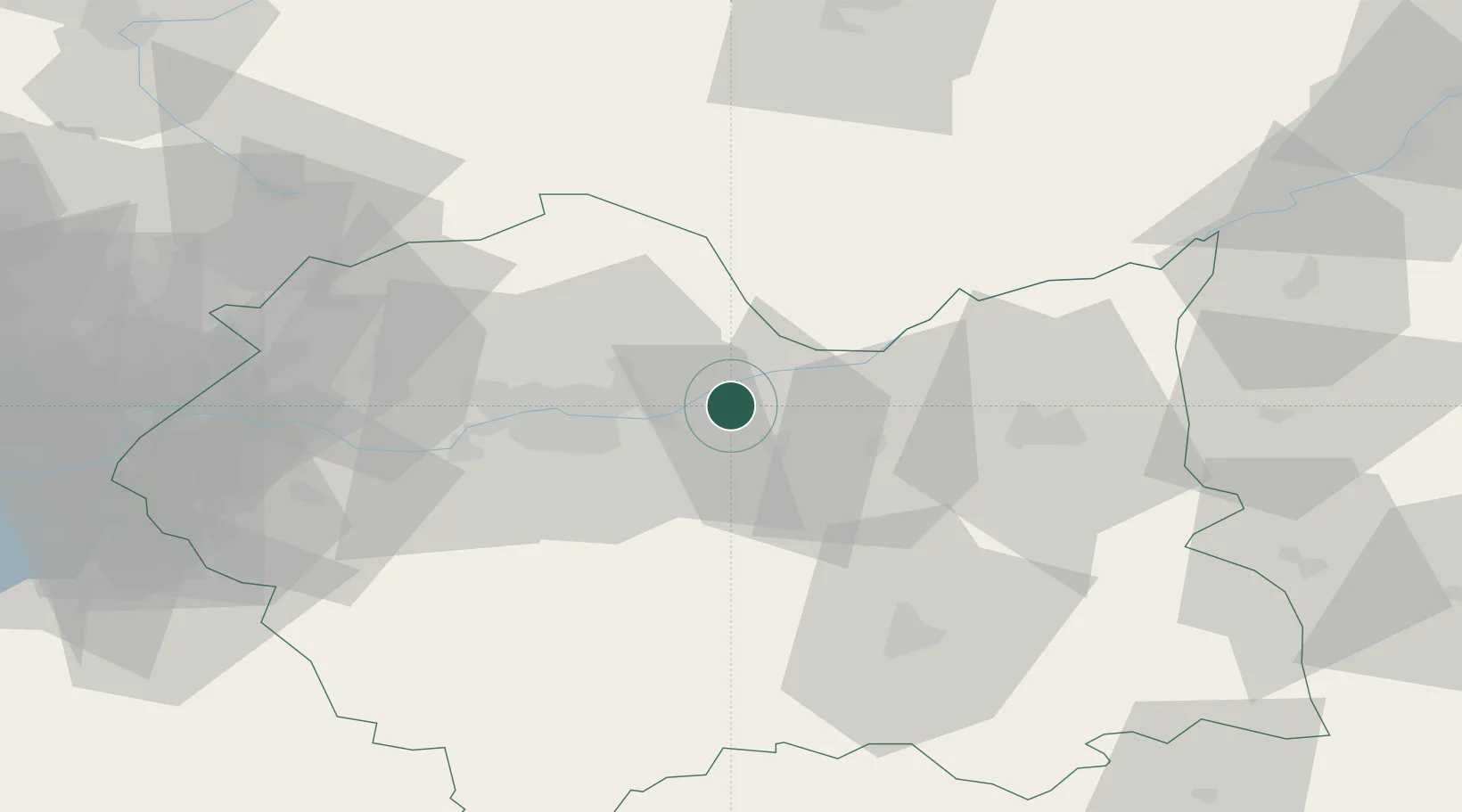
Hub Profile
Region
MA
Location
Nearby Logistics Neighbours
Cities
- 1Klaj9 km
- 2Stanislawice9 km
- 3Lyszkowice15 km
- 4Okocim24 km
- 5Dzialoszyce33 km
Ports
- 1Gdansk490 km
- 2Nowy Port497 km
- 3Baltiysk509 km
- 4Gdynia511 km
- 5Kaliningrad515 km
Airports
Trade Zones
DatabookThe Record of Consolidated Knowledge
Poland beyond logistics?