Transport Functions
Port
Road
Hub Profile
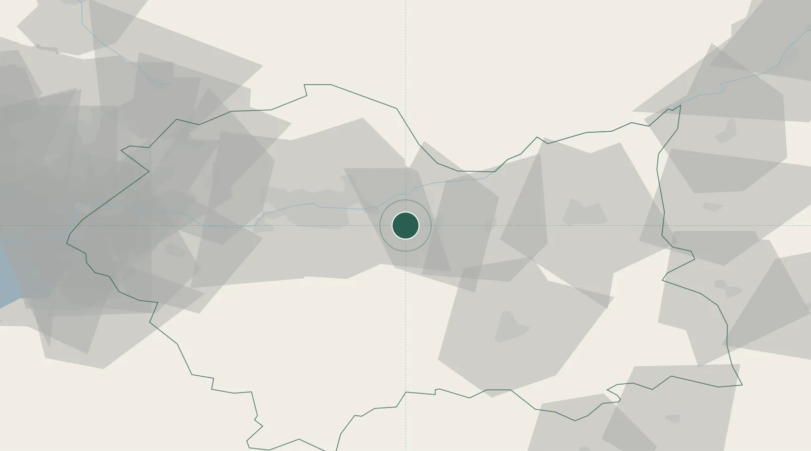
Place type
District seat
Region
Lesser Poland
Population
3,500
Time zone
Europe/Warsaw
Elevation
211 m
Location
Nearby Logistics Neighbours
Cities
- 1Stanislawice2 km
- 2Ploxo9 km
- 3Okocim22 km
- 4Lyszkowice23 km
- 5Myslenice31 km
Ports
- 1Gdansk498 km
- 2Nowy Port506 km
- 3Baltiysk518 km
- 4Gdynia520 km
- 5Kaliningrad525 km
Airports
Trade Zones
DatabookThe Record of Consolidated Knowledge
Poland beyond logistics?